
Tag "SuperGIS Webinar"
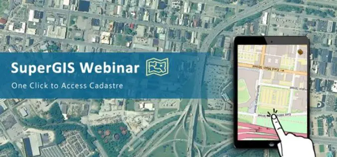
Access Cadastral Data by One Click!
Cadastral data is a combination of real estate registry and metes-and-bounds, including attributes like ownership, precise location, area, and land value. It is an important and fundamental data source in

SuperGIS Webinar – A Smart Solution for Modern Land Management
SuperGIS Webinar – A Smart Solution for Modern Land Management Wed, Dec 16, 2015 1:30 PM – 2:30 PM IST Show in My Time Zone Are you still struggling with

SuperGIS Webinar: Smart Industrial Hazard Management with GIS
Smart Industrial Hazard Management with GIS To avoid chemical accident causes fatal damage of public lives, emergency dispatchers need various resources to plan prevention and response in advanced. Join SuperGIS

Watering the Future – Manage Natural Resources by SuperGIS Cross-Platform Solution
Webinar: Watering the Future – Manage Natural Resources by SuperGIS Cross-Platform Solution 7th May, 11:00 AM (New York Time) Your Local Time (http://goo.gl/LYUae8) Wondering how to manage natural resources efficiently? With the
Webinar: Responding to Natural and Urban Environment Changes with 3D GIS Tech
Responding to Natural and Urban Environment Changes with 3D GIS Tech When natural and human-made disasters occur in urban area, how do we respond and minimize the damage with GIS
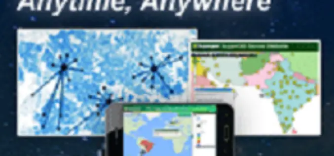
SuperGIS Webinar – Make Enterprise GIS Data & Service Available Anytime, Anywhere
SuperGIS Webinar – Make Enterprise GIS Data & Service Available Anytime, Anywhere Need to share large GIS data across the organization, and assign to field force for specific tasks? SuperGIS

SuperGIS Webinar.: Bring Field to Office by Smart Devices
SuperGIS Webinar: Bring Field to Office by Smart Devices Thursday, September 18th – 05:00 PM – 06:00 PM (Taipei Time, GMT+8) Wondering how on-site survey tasks and office GIS work can be well connected

Free SuperGIS Webinar on Facilitating Field Tasks by Mobile GIS
Facilitating Field Tasks by Mobile GIS Wednesday, May 7th; 11:00 AM – 12:00 PM (EDT, New York Time) Mobile GIS changes the way we capture and update field data. Geospatial information can
