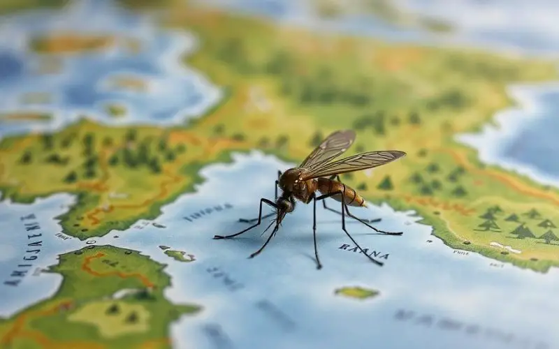
A team of researchers at Heidelberg University has introduced a pioneering AI mosquito mapping technique to track Aedes aegypti populations, the species responsible for spreading diseases like dengue, Zika, chikungunya, and yellow fever. According to Universität Heidelberg, this advanced approach analyzes satellite and street view images to evaluate environmental factors that encourage mosquito breeding, providing a more efficient method for generating distribution maps.
Improved Disease Control with AI Mosquito Mapping
The spread of Aedes aegypti, especially in urban areas, poses a major public health risk globally. Controlling these mosquitoes is crucial, as vaccines for most of the diseases they transmit remain limited.
Mosquito control methods, such as spraying insecticides and releasing mosquitoes infected with Wolbachia (a bacterium that prevents virus transmission), require precise maps to target specific areas effectively.
The AI-supported mosquito mapping system developed by the Heidelberg team offers a more efficient and cost-effective solution than traditional manual field measurements.
Until now, creating accurate distribution maps relied heavily on data from mosquito traps, which required vast manpower and resources to monitor over large urban areas. Given the limited flight range of Aedes aegypti—about 1,000 meters—the data from these traps often fell short in representing larger city-wide mosquito populations.
Also Read – How Spatial-Temporal Data Revealed Hepatitis B Patterns in China
Satellite and Street View Images: A Game Changer
The new method leverages artificial intelligence to analyze satellite and street view images to detect potential mosquito breeding sites, such as water containers, tires, and plant pots.
“The density of breeding sites is a strong predictor for the number of eggs and larvae found in traps,” explains Prof. Dr. Alexander Zipf, head of the Geoinformatics/GIScience research group at Heidelberg University.
By combining AI-based mapping with field measurements, the team can now more precisely assess the environmental factors that promote the spread of Aedes aegypti, especially in cities like Rio de Janeiro, Brazil, where the method is being applied.
The project, which involves researchers from Austria, Germany, Singapore, Thailand, and the USA, was funded by the German Research Foundation and the Klaus Tschira Foundation. Their findings were published in Scientific Reports and the International Journal of Applied Earth Observation and Geoinformation.
This cutting-edge technology marks a significant advance in the global fight against mosquito-borne diseases. By integrating AI, geospatial data, and human movement patterns, the research offers a promising new tool in disease control efforts.
Conclusion
This new AI-driven approach to mosquito mapping could revolutionize how public health authorities combat mosquito-borne diseases. By providing more precise and actionable data, this method holds great potential for improving disease control efforts.
If you found this information helpful, consider sharing your thoughts in the comments, liking the article, or spreading the word on social media!
Source: Universität Heidelberg, Press Release published at idw-online.de


