
Tag "AI"
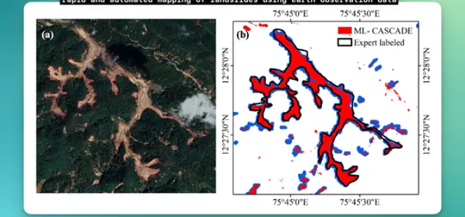
IIT Delhi Develops Tool for Automated Mapping of Landslide Events
Researchers from the Civil Engineering Department at IIT Delhi have introduced a groundbreaking tool, ML-CASCADE, aimed at Automated Mapping of Landslide extents using satellite data. This cloud-based machine learning tool
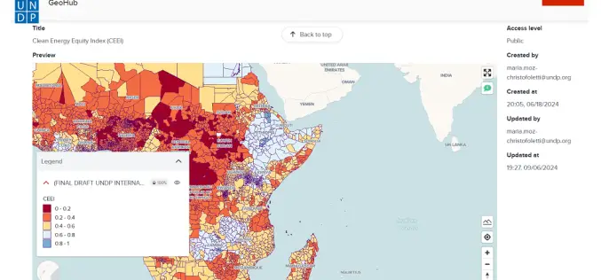
Advancing AI-Driven Energy Equity with Geospatial Technology
The United Nations Development Programme (UNDP) and IBM have launched two advanced models that combine AI and geospatial technology to promote clean energy access and equity. These tools, hosted on
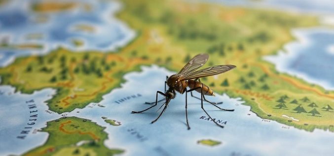
AI Mosquito Mapping in Fighting Mosquito-Borne Diseases
A team of researchers at Heidelberg University has introduced a pioneering AI mosquito mapping technique to track Aedes aegypti populations, the species responsible for spreading diseases like dengue, Zika, chikungunya,

Abu Dhabi’s Al Ain Geo Platform Revolutionizes Urban Planning with AI
The Al Ain City Municipality, under the Abu Dhabi Department of Municipalities and Transport (DMT), has launched the Al Ain Geo Platform, a cutting-edge tool designed to revolutionize urban planning

Bengaluru Firm Partners with ISRO to Develop AI for Marine Pollution Detection
Bengaluru-based AlphaMers Ltd. has joined forces with the Indian Space Research Organisation (ISRO) to create an advanced Artificial Intelligence (AI) model aimed at marine pollution detection. This collaboration focuses on

Japan’s AI-Powered Navigation Aims to Save Lives from Wrong-Way Drivers
In a groundbreaking move to enhance road safety, Japan’s Ministry of Land, Infrastructure, Transport, and Tourism (MLIT) is set to introduce advanced AI-powered navigation systems to curb wrong-way driving on
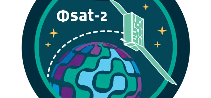
ESA Unveils AI-Powered Satellite for Earth Observation
The European Space Agency (ESA) launched Phsat-2/Φsat-2, an AI-powered satellite for remote sensing, on August 16, 2024, from Vandenberg Space Force Base, California. This AI-powered satellite represents a leap forward
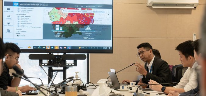
UNDP Unveils AI-Powered Mapping Tool to Combat Poverty in Cambodia
The United Nations Development Programme (UNDP) has introduced the “Cambodia Poverty/Vulnerability Mapping Tool,” an innovative AI-powered platform designed to address socio-economic vulnerabilities across Cambodia. This tool represents a significant advancement
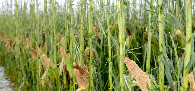
How AI and Aerial Imagery Can Improve Crop Damage Assessments in Agricultural Insurance
About Author Corey Feduck Director of Business Development at Ceres Imaging As extreme weather events continue to increase in frequency, insurance firms are partnering with agricultural technology companies to gain

Tamil Nadu Pushes Agriculture Budget for Use of AI, Remote Sensing, and Drones
The Tamil Nadu (India) Agriculture State Budget for 2022-23 emphasizes the use of technology such as IoT, Artificial Intelligence, Drones, and Remote Sensing, as well as a role for industries
