
Posts From GIS Resources

LiDAR-Powered Cycling Safety in the Netherlands
The Netherlands, a country renowned for its cycling culture, is taking a major step forward in road safety with LiDAR-powered cycling safety solutions. Researchers at Delft University of Technology have

Telangana Launches LiDAR Survey for One Map Hyderabad
The Telangana government has initiated the One Map Hyderabad project, a large-scale LiDAR survey aimed at improving urban planning and infrastructure management. This project will consolidate critical urban data, such
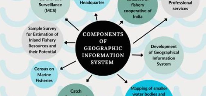
Satellite Technology in Fisheries Driving India’s Growth
India’s fisheries sector is undergoing a digital transformation, with Satellite Technology in Fisheries playing a crucial role. From real-time monitoring to resource management, these advancements are improving efficiency, ensuring sustainability,

Melbourne Firm’s GeoAI Partnership in Australia Boosts AI-Driven Mapping
Melbourne-based geospatial analytics firm, The Spatial Distillery Company, has partnered with Swiss artificial intelligence provider Picterra. This GeoAI partnership in Australia aims to improve satellite and drone image analysis, helping

Malaysia Satellite Program to Enhance National Space Capabilities
Malaysia is set to advance its space technology sector with the launch of the Malaysia Satellite Program in 2028. The initiative, officially known as the National Remote Sensing Satellite Development

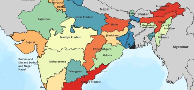
Glacier Retreat in Arunachal Pradesh Raises Water Availability Concerns
A recent study conducted by researchers from Nagaland University and Cotton University highlights a significant glacier retreat in Arunachal Pradesh. The research, spanning over three decades, indicates a worrying decline

MENA’s Premier Geospatial Event Returns to Dubai – 2nd MENA Geospatial Forum 2025
As the MENA region accelerates its adoption of geospatial technologies to drive smart city development, infrastructure resilience, and environmental sustainability, the 2nd MENA Geospatial Forum is set to convene the
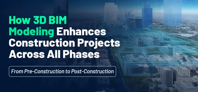
How 3D BIM Modeling Enhances Construction Projects Across All Phases: From Pre-Construction to Post-Construction
Have you ever wondered how modern construction projects manage to stay on schedule, within budget, and free from major design errors? Building Information Modeling (BIM) is fundamentally transforming the construction
NAKSHA Project to Revolutionize Urban Land Surveys in India
In a significant move to modernize urban land records, the Government of India is set to launch the National Geospatial Knowledge-based Land Survey of Urban Habitations (NAKSHA) pilot project. The

RIEGL @ AUVSI XPONENTIAL Europe in Düsseldorf, Germany
As one of the leading providers of UAV-based laser scanning solutions, RIEGL will, of course, be present at the first XPONENTIAL Europe from February 18 to 20, 2025 in Düsseldorf!
