
Posts From GIS Resources
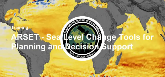
NASA ARSET Training- Sea Level Change Tools for Planning and Decision Support
Sea level change is accelerating, currently rising at approximately 3 mm per year—and this pace is expected to increase further throughout the next century. To track and analyze past, present,
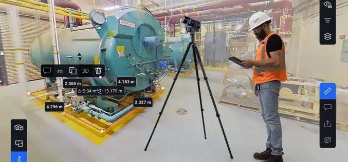
FARO Launches Blink for Simplified 3D Data Capture
FARO Technologies has officially unveiled Blink, a new innovation that aims to revolutionize 3D data capture by making it faster, easier, and more intuitive. Blink offers real-time, high-quality spatial data

Genesys International Gets ₹15 Cr Boost for 3D Mapping Expansion Around Pune
Genesys International has secured a fresh order worth ₹15 crore for the 3D mapping expansion of Pune’s outer regions. This new contract, awarded by regional development authorities, will enhance urban
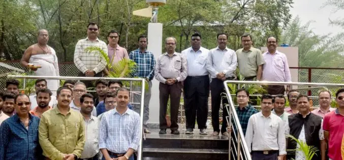
New Regional Center for Geodesy at IIT ISM to Provide High-Precision GNSS Data
In a move to strengthen India’s geospatial research and mapping capabilities, IIT ISM Dhanbad has inaugurated the Regional Center for Geodesy (RCG). This newly established center is aimed at enhancing

Unlocking Resources with Remote Sensing Mineral Detection
A major milestone has been reached in the field of remote sensing mineral detection with the public disclosure of a once-private technology. CC Explorations, a trailblazer in mineral remote sensing,
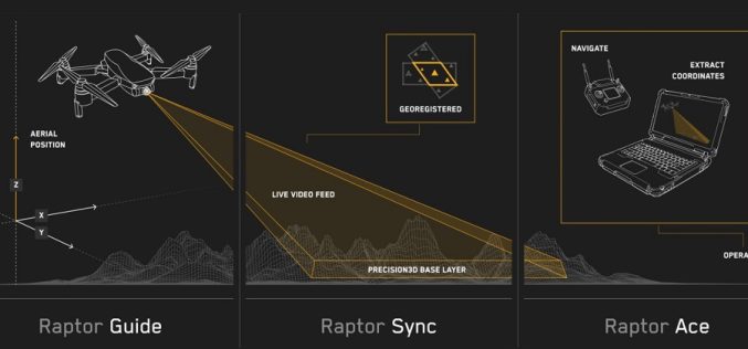
Maxar’s Raptor Software Sets New Standard for GPS-Denied Drone Navigation
In an era where GPS interference and jamming pose significant challenges to autonomous systems, Maxar Intelligence has unveiled a powerful solution—Raptor. This first-of-its-kind software suite is specifically designed to enable
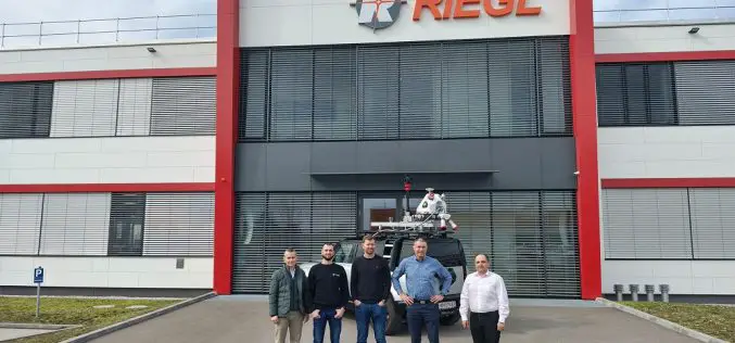
Field Geospatial Enhances Global Leadership with Cutting-Edge RIEGL Mobile Mapping Technology in the Nordic Regions
Field (Field Geospatial AS) is a premier Norwegian technology and geomatics company renowned for its expertise in collecting and analyzing geographical data. Specializing in aerial data capture, mobile mapping, and

Singapore Strengthens Maritime Innovation with Maritime Digital Twin
Singapore has taken a bold step in reshaping the future of its port operations by launching a maritime digital twin. This move, part of the Maritime and Port Authority of

ISRO’s Satellite-Based Lightning Prediction System Enhances India’s Weather Forecasting
The Indian Space Research Organisation (ISRO) has achieved a significant milestone in meteorological science by developing an advanced system for the early prediction of lightning strikes across India. This breakthrough
CAG-BISAG-N Collaboration to Enhance Remote Sensing in Audits
The Bhaskaracharya National Institute for Space Applications and Geo-Informatics (BISAG-N) is a premier Indian institution specializing in the application of space technology and geo-informatics. Established to harness the potential of
