
Posts From GIS Resources
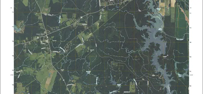
Louisiana Quads Add Trails and Survey Data
Newly released US Topo maps for Louisiana feature select trails and other updates Several of the 812 new US Topo quadrangles for Louisiana now display public trails along with improved

South Africa Introduce New Regulations for UAS
South Africa has recently announces the introduction of new regulation for remotely piloted aircraft systems (UAS). Traditionally, remotely piloted aircraft systems were used primarily in military operations; while their useful
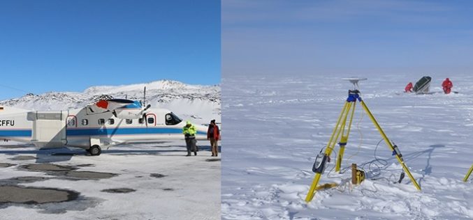
Airborne Radar Scanning of Glaciers for Climate Change Modeling
Greenland’s ice sheet is the second largest mass of ice on Earth, containing enough water to raise ocean levels by about 20 feet. The ice sheet has been losing mass

Webinar: Getting Started with Global Mapper
Getting Started with Global Mapper May 28, 2015 In this hour-long video presentation, we provide guidance and advice for new users of Starting with the installation and registration process, we
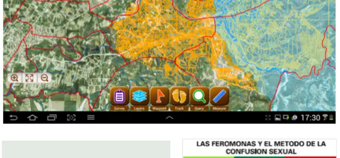
CBC Iberia, Spain Adopts SuperSurv for Android to Elevate Data Collection Efficiency
Supergeo Technologies, the leading provider of complete GIS software and solutions,announces that CBC Iberia S.A., Spain adopts SuperSurv for Android in enhancing outdoor data collection for biotechnologies and agriculture. CBC

KU Awarded New FAA Center of Excellence Designation
The University of Kansas is among three universities across the states that are members of the new Federal Aviation Administration Center of Excellence for Unmanned Aircraft Systems, or UAS, which
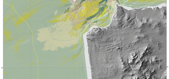
New Maps Reveal Seafloor off San Francisco Area
SANTA CRUZ, Calif. — Three new sets of maps detail the offshore bathymetry, habitats, geology and submarine environment of the seafloor off the coast of San Francisco, Drakes Bay, and

EMMa an Online Disease Mapping Tool
European Centre for Disease Prevention and Control (ECDC) has launched a web-based geographic information system (GIS) tool for mapping communicable disease and that supports production of maps. The tool, called ECDC
Delhi Govt to Use Remote Sensing Technology to Check Illegal Construction
New Delhi – May 20, 2015: Delhi Government on Wednesday said it will use remote sensing satellite technology to check and map unauthorised constructions and encroachments in the city and
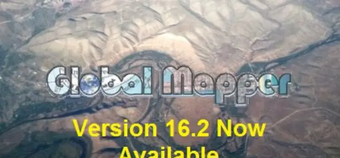
Global Mapper Version 16.2 Now Available with Improved 3D Viewer, Upgraded Fly-Through Video Playback, and Numerous New Formats
Hallowell, Maine – May 19, 2015 – Blue Marble Geographics (bluemarblegeo.com) is pleased to announce the availability of version 16.2 of Global Mapper. This interim release includes functional upgrades and
