Posts From GIS Resources
Esri Training Seminar: Streamline GIS Workflows with ArcGIS Pro
Streamline GIS Workflows with ArcGIS Pro Thursday, January 29, 2015 Seminar Overview: ArcGIS Pro is a new desktop application included with ArcGIS 10.3 that is designed to help GIS professionals
Google to End Support for Google Maps Engine
In an official Google user group, it has been informed that Google will end support for the Google Maps Engine. Google will provide support for the Google Maps Engine (GME) product
Esri Releases Demographic Data for 137 Countries
Global Income, Population and Business Data Now Easily Available for Better Local Market Knowledge Esri announces that geodemographic information for 57 additional countries has been added to its ready-to-use ArcGIS
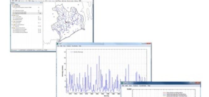
U.S. Geological Survey Groundwater Toolbox, a Graphical and Mapping Interface for Analysis of Hydrologic Data
U.S. Geological Survey groundwater toolbox, a graphical and mapping interface for analysis of hydrologic data (version 1.0): user guide for estimation of base flow, runoff, and groundwater recharge from streamflow
One Week Course About UAV Remote Sensing Principles
It is a one week course about state of the art remote sensing techniques using UAV aerial images. A broad board of top level UAV professionals and researchers has been
W3C and OGC to Collaborate to Integrate Spatial Data on the Web
The W3C and the Open Geospatial Consortium (OGC) announced today a new collaboration to improve interoperability and integration of spatial data on the Web. Spatial data —describing geographic locations on
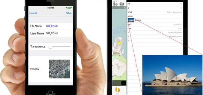
iOS Mapping Solution, SuperSurv, Enhances Raster Data Support
Supergeo releases the latest update of SuperSurv 3.2 (iOS) to enhance the functionality and efficiency for mobile GIS surveyors. Having stronger compatibility with raster dataset and convenient tools for data
Pakistan to Introduce Smart Phones for Digital Mapping of Dengue
According to recent news, Dengue Prevention and Control Programme (DPCP) Sindh (Pakistan) to introduce smart phones for digital mapping of high-risk areas of dengue larva breeding points, patients and


