

Posts From GIS Resources
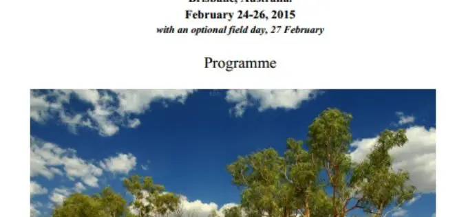
Workshop on Approaches to Remote Sensing For Vegetation Biomass Estimation
Workshop on Approaches to Remote Sensing For Vegetation Biomass Estimation February 24-26, 2015, Brisbane, Australia Vegetation biomass is a crucial ecological variable and an important component of the global carbon

UPRN Release To Support Greater Sharing Of Location Data
Supporting the local government transparency and government open data agendas, Ordnance Survey, GeoPlace and the Improvement Service are enabling AddressBase internal business use customers to release Unique Property Reference Numbers (UPRNs)

High Accuracy and Advanced Field Work with Latest SuperSurv
To meet the great needs of high accuracy field data collection and better workflow via modern GNSS technology, Supergeo, the leading GIS software and solution provider, announces the latest SuperSurv

Webinar: TerraGo Edge v3.4 Adds Powerful GPS Features
TerraGo Edge v3.4 Adds Powerful GPS Features Tuesday, March 3, 2015 12:00 PM EST Join this webinar and get an overview of TerraGo Edge v3.4 new functions and capabilities. TerraGo

The Paper Map Revolution
In the past ten years Ordnance Survey paper map sales have fallen, in line with the rest of the publishing industry. Yet in 2014, Britain’s mapping agency reversed this trend with
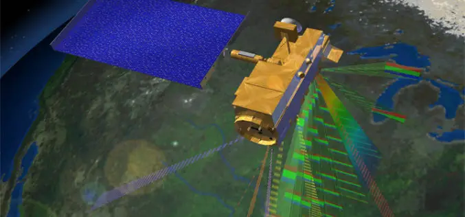
Remote Sensing Technology to Prevent Outbreak of Diseases
Feb. 16, 2015 – Satellites can help scientists follow parasites and viruses, and in some cases predict months ahead of time an outbreak of dengue fever or malaria, researchers said

DAT/EM Summit Evolution Compatible with Blue Marble’s Global Mapper
The new Global Mapper Extension from DAT/EM Systems International connects Global Mapper from Blue Marble Geographics® with any edition (Professional, Feature Collection or Lite) of DAT/EM’s famous Summit Evolution™ stereoplotter.
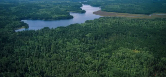
Regional Equivalent Water Thickness Modeling from Remote Sensing across a Tree Cover/ LAI Gradient in Mediterranean Forests of Northern Tunisia
Regional Equivalent Water Thickness Modeling from Remote Sensing across a Tree Cover/LAI Gradient in Mediterranean Forests of Northern Tunisia – Hedia Chakroun, Florent Mouillot and Abdelaziz Hamdi Abstract: The performance of
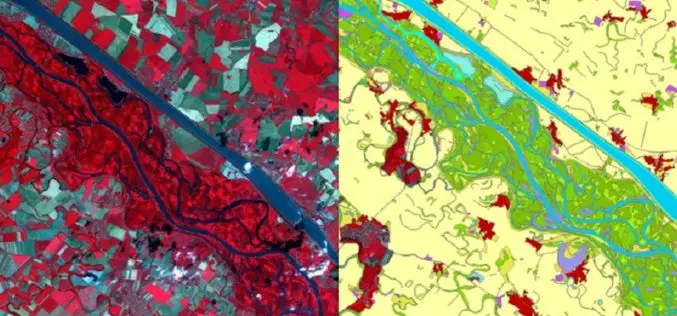
Copernicus: A Tool for Monitoring Europe’s Ecologically Sensitive River Banks
Riparian zones are fragile, yet environmentally important areas, and carry out a range of “ecosystem services”, such as filtering water, supporting wildlife and stabilising river banks. Within the Copernicus programme,
Global Mapper Webinar: What’s New in Global Mapper v. 16.1
What’s New in Global Mapper v. 16.1 February 19, 2015 at 2:00 pm (EST) The Global Mapper webinar for the month of February introduces the latest enhancements and improvements to
