

Posts From GIS Resources

ArcGIS 10.3 Now Certified OGC Compliant
Esri Users Benefit from Interoperability Standard As part of Esri’s ongoing support of GIS interoperability, the latest ArcGIS 10.3 release is now certified as Open Geospatial Consortium, Inc. (OGC), compliant. This
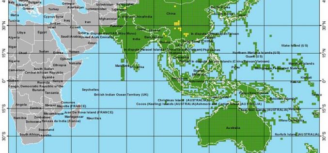
More Global Topographic Data to Aid Climate Change Research
Enhanced elevation data for most of Asia and Oceania; third of four releases Improved global topographic (elevation) data are now publicly available for most of Asia (India, China, southern Siberia,
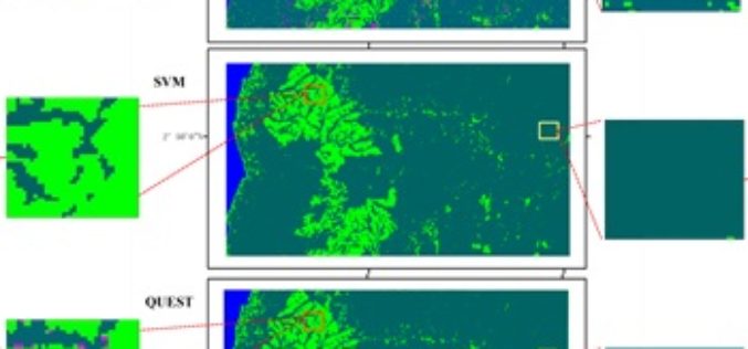
Mapping Oil Palm Plantations in Cameroon Using PALSAR 50-m Orthorectified Mosaic Images
Mapping Oil Palm Plantations in Cameroon Using PALSAR 50-m Orthorectified Mosaic Images -By: Li Li, Jinwei Dong, Simon Njeudeng Tenku and Xiangming Xiao Abstract: Oil palm plantations have expanded rapidly. Estimating either positive

Ordnance Survey Set to Become a Government-Owned Company
Proposals for converting Ordnance Survey from a Trading Fund into a government-owned company have today moved a step closer 22 January 2015 – As announced this morning in a Written Ministerial

Sahaaya App to Help Bengaluru Citizens in Civic Woes
In recent news, Bruhat Bangalore Mahanagara Palike (BBMP) has launched Sahaaya app, a GIS-based interface, to help citizens lodge complaints regarding civic woes. BBMP Sahaaya (Help) is a easy and user friendly

Blue Marble to Highlight Use of Global Mapper for the Military
Blue Marble Geographics (bluemarblegeo.com) will be exhibiting at the 26th Annual SO/LIC Symposium & Exhibition held in Washington, D.C. at the Washington Marriott Wardman Park Hotel on January 26-28, 2015.
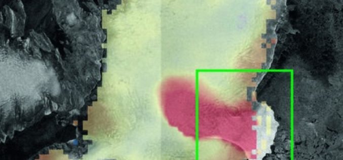
Satellites Catch Austfonna Rapid Ice Loss
Rapid ice loss in a remote Arctic ice cap has been detected by the Sentinel-1A and CryoSat satellites. Located on Norway’s Nordaustlandet island in the Svalbard archipelago, parts of the

Exelis Webinar: Increase Agricultural Efficiencies Using Satellite Imagery
Exelis Webinar on Increase Agricultural Efficiencies Using Satellite Imagery February 5, 2015 As anyone living in a major drought region will tell you, water has become the new gold. Properly conserving and

Esri Training Seminar: Streamline GIS Workflows with ArcGIS Pro
Streamline GIS Workflows with ArcGIS Pro Thursday, January 29, 2015 Seminar Overview: ArcGIS Pro is a new desktop application included with ArcGIS 10.3 that is designed to help GIS professionals

Google to End Support for Google Maps Engine
In an official Google user group, it has been informed that Google will end support for the Google Maps Engine. Google will provide support for the Google Maps Engine (GME) product
