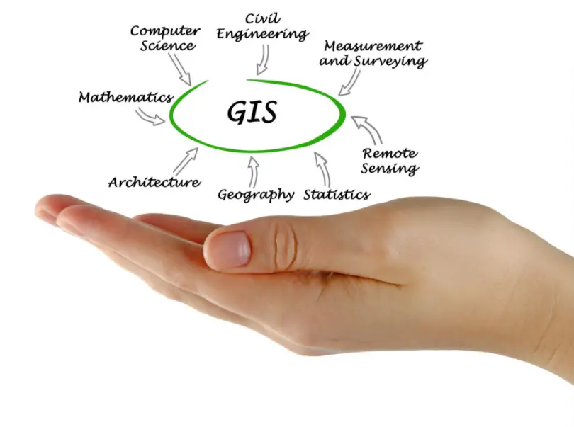
A geographic information system (GIS) is a process that is intended to capture, store, manipulate, analyze, and present all types of geographical data. The essential word in this definition is “geography,” which means that some portion of the information is spatial. In other words, GIS works with data that centers around locations on the earth.
In addition to this data, there is usually tabular data known as attribute data. Attribute data is traditionally defined as supplementary information about each of the spatial features. A good example of this is schools. The precise location of schools is what we call spatial data. Information such as the school’s name, what level of education they teach, the capacity of students they can accommodate, etc., make up the attribute data. Through this combination of spatial and attribute data, GIS can be such an efficient problem-solving tool through spatial analysis. However, it’s important to note that GIS mapping software
How Does GIS Work?
GIS maps allow you to display location-based data in layers. You can only see a limited number of data sets with two-dimensional maps before things become disorganized and ineffective. This is where GIS comes in.
GIS generally consists of the following elements:
- Maps: shareable maps that have geographic data layers.
- Data: spreadsheets, tables, and imagery with a geographic component that connects the data to a particular location.
- Analysis: using spatial analysis, you can enhance the decision-making process by getting insights that provide users with more confidence when interpreting and predicting situations.
- Apps: GIS is not tied to the desktop. You can use GIS on mobile apps, so it’s accessible anywhere at any time.
Although each application is different, these systems are pretty much all alike in the way they function. This is because all GIS tools analyze and visualize spatial data. This includes location information like address, longitude, and latitude. In general, they perform these tasks in three steps:
- Visualize data: Displaying geographic data
- Combing data: Layers of data are combined to form maps
- Query data: Geographic queries look for values in the layered data
What You Can Do with GIS
GIS is a useful tool in both decision-making processes, problem-solving, and data visualization in a spatial environment. By analyzing geospatial data, we can determine:
- The location of features and their relationship to other features
With GIS, you can map where things are. Basically, you’re able to map the spatial location of real-world features and see the spatial relationships between them.
- Where the most or least amount of particular features exist
GIS allows you to maps quantities, such as where the most or least amount of features are. You can also map quantities to find places that meet your criteria or see the relationship between places.
- The density of features in a given space
It can be important to understand the concentration of features in a particular place.
- Activity that is happening in an area of interest
It’s possible to use GIS to see what is happening or what features are located within a particular area or region. This can be done by determining the characteristics of “inside” by making specific criteria to define an area of interest.
- Activity that is happening near a feature or phenomenon
Using GIS, you can determine what is happening within a specific distance from a feature or event by mapping out what is nearby using geoprocessing tools.
- The ways in which a specific area has changed over time
You can map the change of a specific geographic area so as to anticipate future conditions, decide on a course of action, or analyze the results of an action or policy.
Summary
GIS stands for Geographic Information System. This system uses computers and software to collect, manage, and analyze data based on geography. It then visualizes said data on a map. This mapping software uses spatial data in the creation of maps and 3D models out of layers of visual information, showing patterns and relationships in the GIS data. While each software program is different, most systems work in a similar way. They analyze and visualize spatial data, including location information like address, latitude, and longitude. This is done by first displaying the data visually, then combining the various data layers to create maps, before finally searching for values in the layered data.
Also Read-
Confused Between DEM, DTM and DSM !