

Posts From GIS Resources
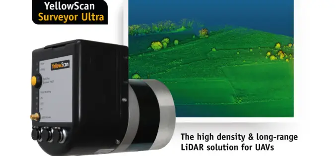
YellowScan Unveils Its New UAV-LiDAR System
Montpellier, 5 February 2018 – The Surveyor Ultra is the new system from YellowScan, integrating the Velodyne VLP-32C scanner & the Applanix APX-15 IMU. Thanks to its high-density (600 000 shots per second), the
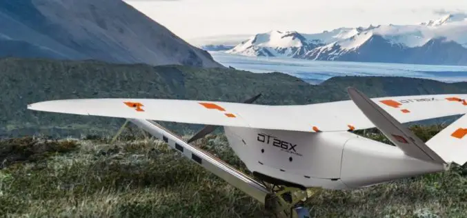
Delair Introduces Industry’s Most Advanced Fixed-Wing UAV for LiDAR-Based Aerial Surveying and 3D Mapping
New Delair DT26X LiDAR drone combines LiDAR sensing with RGB camera data to enable highly accurate and high-resolution 3D representation and measurement over large areas with minimal flights and in
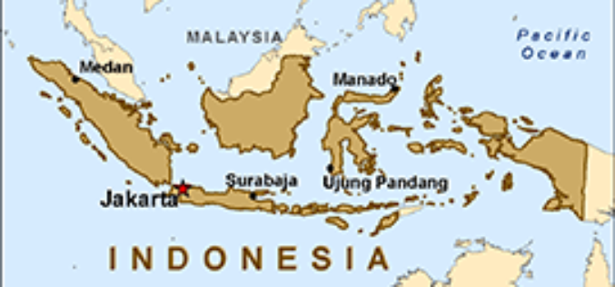
Indonesian Peat Prize Announces 1 Million US Dollar Competition Winner
Indonesian Peat Prize Announces 1 Million US Dollar Competition Winner: International Peat Mapping Team: Remote Sensing Solutions GmbH (RSS), Agency for Assessment and Application of Technology (BPPT), and Sriwijaya University

EarthSense Appoints Thomas Hall as Managing Director
February 1, 2018 – EarthSense Systems, the air quality monitoring, measuring and modelling specialist, has appointed Thomas Hall as Managing Director. A remote sensing specialist with over 19 years’ experience

Teledyne Optech announces Michael Perdue as new Director of Customer Service
January 31, 2018 — Teledyne Optech is pleased to announce that Mr. Michael Perdue is joining the company as Director of Customer Service starting February 1. Mr. Perdue’s arrival is
UK Space Agency Announces New Funding for Industry
Grants are being offered to the UK space sector to come up with innovative new technology. UK Space Agency, 31 January 2018 – The grants of €200,000 have been organised by the UK
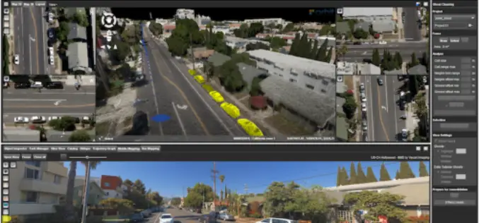
Orbit GT Releases 3D Mapping Content Manager V18
Jan. 30, 2018 – Orbit GT is happy to release the new 3D Mapping Content Manager v18. “The Content Manager is arguably the most unique yet extremely powerful product in our
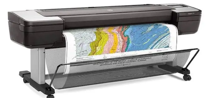
HP Launches World’s Most Secure Large Format Printers for GIS Mapping
Adds HP Secure Boot and Whitelisting to HP DesignJet T1700 printers for enterprise and government. Jan. 30, 2018 – HP Inc. introduced HP DesignJet T1700 printers, next-generation 44-inch solutions for CAD and geographic

Boundless Launches Massively Scalable Geospatial Server for the Enterprise
Boundless Server Enterprise Serves Location Data In The Cloud; Offers Most Powerful Solution for Availability and Responsiveness St. Louis, MO – Jan. 30, 2018 – Boundless, the leader in open GIS,

Woolpert’s Jeff Lovin Elected ASPRS Vice-President
The firm’s senior vice president and director of Government Solutions joins an elite group selected as leaders for multiple national and international photogrammetric and remote sensing organizations. Dayton, Ohio (Jan.
