BigData Earth Develops New Location Profile Report for Worldwide Agricultural Land
Modern Earth observation technologies (spaceborne, airborne and terrestrial) are increasingly deployed to capture environmental attributes about agricultural land and assets. Big data collected by various sensors and the information extracted are critical for the growing AgTech and precision agriculture industry.
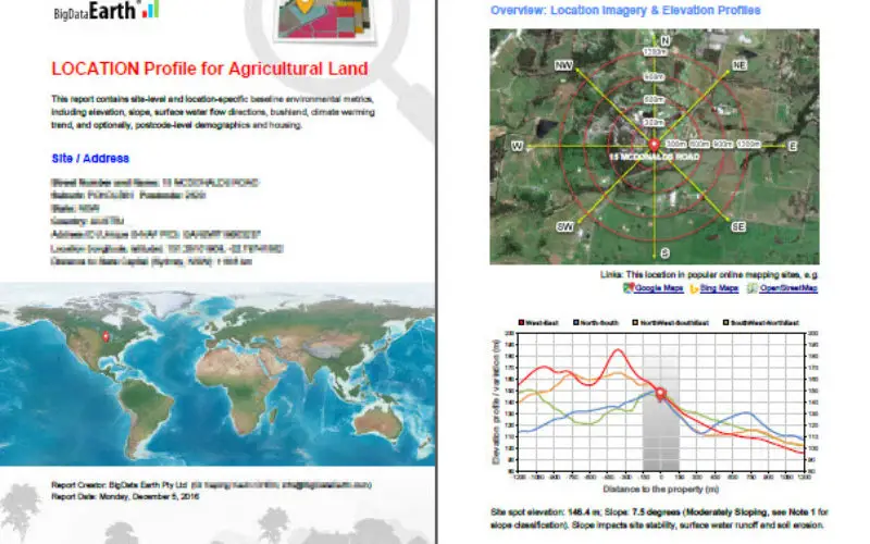
Many baseline terrain and environmental attributes for agricultural land should be systematically and digitally catalogued in the first place. BigData Earth develops new location profile reports for worldwide agricultural land, by including the following site-specific components:
-
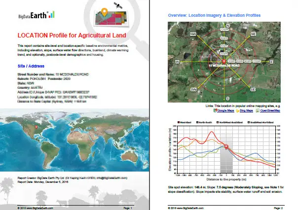
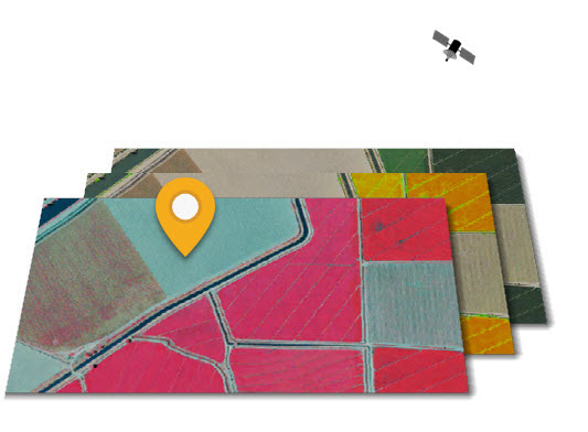
Natural colour, colour-infrared, and NDVI imagery
-
Terrain profiles and topographic variations
-
Vegetation cover
-
Drainage delineation and wet-areas mapping, an aspect that is highly related to the evaluation of physical and chemical properties of agricultural soils, including soil moisture content, soil particle composition and soil types.
-
Climate-warming trends on max and min temperatures, an aspect that concerns many farmers and impacts the suitability and productivity of arable land in the long term.

The new integrated location profile report (typically in PDF format) goes beyond common imagery and basemaps, and contains a wide range of metrics and insights supporting informed location decisions.
For the contiguous U.S., more detailed reports are also being developed using 1m-resolution aerial imagery and 10m-/3m-/1m-resolution elevation data from the U.S. government agencies.
Reports can be readily produced with an efficient mapping and analytical system. A popular application scenario is that a large portfolio of agricultural lands need to be quickly analysed in order to obtain both the big picture and detailed reports of individual sites.
Samples are available at BigData Earth website http://www.bigdataearth.com/