
GIS

The OGC® adopts OGC Geo and Time Extensions Standard for OpenSearch
The Open Geospatial Consortium (OGC®) Members approved “OGC OpenSearch Geo and Time Extensions” as an OGC standard. This document defines an extension to the popular OpenSearch specification so that users
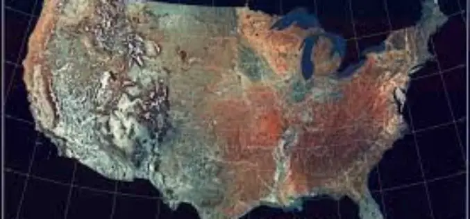
Revised West Virginia, New Jersey and Georgia Maps Feature New Design
Newly designed US Topo maps covering West Virginia, New Jersey and Georgia are now available online for free download US Topo maps now have a crisper, cleaner design – enhancing readability
Esri Opens Its Storytelling with Maps Contest
Redlands, California—April 22, 2014- Anyone who has ever created a story map, or wanted to, is invited to enter Esri’s Storytelling with Maps Contest. “Everything is fair game, including Story Maps you’ve

Kerala Water Authority to use GIS in Pipelines Mapping and Monitoring
In recent news by The Hindu, the Kerala Water Authority (KWA) is planning to use 3D GIS mapping of the pipelines in the city’s distribution system. The system will facilitate

Ordnance Survey Signs New Agreement with Openreach
Ordnance Survey has entered into a new five-year agreement with Openreach (a part of BT Group) worth over £23 million for the supply of a range of data products, services and

Yemen Takes a Major First Step in Reaching Marginalized Communities
SANA’A Yemen, 15 April 2014 – UNICEF and the Social Welfare Fund (SWF) of Yemen’s Ministry of Social Affairs and Labour today launched the mapping of muhamasheen communities (locally known as
Nepal Telecommunications Authority to Use GIS to Map Infrastructure
In recent news, the Government of Nepal is planning to implement GIS technology to map and prepare digital database of telecom infrastructure. The entire programme will focused at maintaining digital
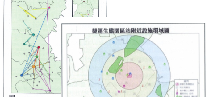
Superior Public Bike System with SuperGIS Desktop 3.2
Supergeo Technologies, a leading global provider of GIS software and solutions, assists Kaohsiung City in analyzing superior network, like locations and routes, of the public bike system. The usage efficiency
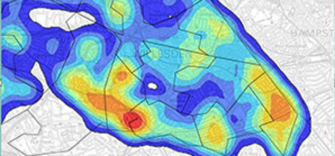
Crime Mapping by Delhi Police to Tackle Crime Against Women
In recent news, in response to a PIL filed by Nandita Dhar through advocate Gaurav Kumar Bansal alleging instances of eve-teasing in Delhi, the Delhi High Court ordered Delhi Police to

Scientists Chart Seafloor of One of Earth’s Largest Marine Protected Areas
Apr 15, 2014- On April 11, scientists returned from a 36-day mapping expedition to Papahānaumokuākea Marine National Monument (PMNM) in the remote Northwestern Hawaiian Islands. PMNM is the largest protected area
