

Business

StreetMapper First for Australia
Surveying company Whelans has purchased Australia’s first StreetMapper mobile laser scanning system from 3D Laser Mapping. Whelans purchased the system, which uses vehicle mounted lasers to capture highly

Ordnance Survey Becomes a Corporate Supporter of the Open Data Institute (ODI) Membership Programme
Ordnance Survey is pleased to announce that it has signed up to corporate supporter membership of the Open Data Institute. It will join organisations such as the Met Office, Arup,

1Spatial Australian Local Government GIS Survey Finds Councils Would Benefit from Smart Geospatial Technologies
Many councils performing geospatial tasks manually because of poor data quality and lack of integration with other data SYDNEY, Australia – 27 October 2014 – 1Spatial Group, global
Supergeo Launches the Newest SuperGIS Network Analyst 3.2
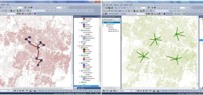
Supergeo Technologies Inc., the global leading GIS software and solution provider, launches the newest SuperGIS Network Analyst 3.2 with stronger analysis performance and computing methods. SuperGIS Network Analyst 3.2 enables

NCTech Set To Transform Laser Scanning Market with HDR Point Cloud Colourisation Software
Scottish company launches world’s fastest automatic high resolution HDR point cloud colourisation Breakthrough technology will mean end for stitching, processing images and manually clicking placement points NCTech has launched ColourCloudTM,
PCI Geomatics and IAVO-RS Announce Update to 3D FeatureXtract Software
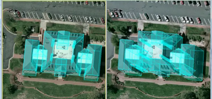
PCI Geomatics, a world-leading developer of remote sensing and photogrammetric software and systems, announces with its partner IAVO, the release of 3D FeatureXtract (3DFE). By calculating feature heights and outlines
GIS Reappear Historical Township Maps
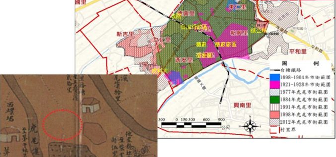
To better understand historical geospatial relations and complete the shortage of traditional historiography, which usually only uses textual materials, GIS technologies provide historians with modern method to rebuild the historical
Severe Cyclonic Storm ‘HUDHUD’ over westcentral Bay of Bengal
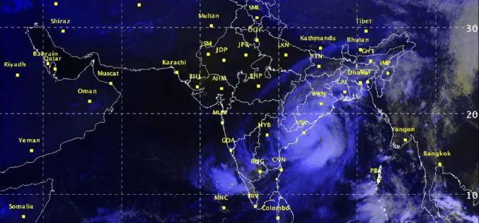
According to Indian Meteorological Department, the Severe Cyclonic Storm ‘HUDHUD’ over westcentral Bay of Bengal moved northwestwards, intensified into a very severe cyclonic storm and lay centered at 1430 hrs IST
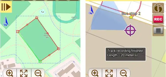
Latest SuperSurv 3.2 Boosts Convenience of Geospatial Data Collection
Developed by Supergeo, the latest version of SuperSurv (iOS/Android) 3.2 is upgraded with more global coordinates systems functions to bring users a more convenient and intuitive manipulation. SuperSurv, the mobile

SuperSurv Elevates Tequila Industry Development in Mexico
Supergeo Technologies, the global leading GIS software and solution provider, announce that Consejo Regulardor del Tequila (CRT), A. C., Mexico, utilizes SuperSurv to strengthen blue agave management and tequila quality.
