Business
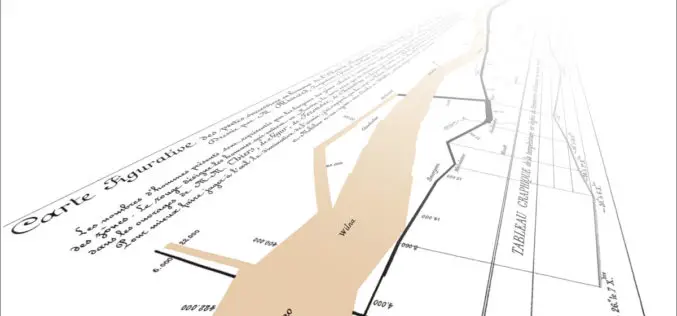
PR: New Esri Book Inspired by Classic Flow Map of Napoleon’s Russian Campaign
Mapping Time Examines Challenges of Temporal Mapping Redlands, California—Published by Esri Press, Menno-Jan Kraak’s book Mapping Time: Illustrated by Minard’s Map of Napoleon’s Russian Campaign of 1812 combines historical and geographic analysis with
PR: New York State Police Implement GeoComm Mapping in New Call Center
The New York State Police (NYSP) recently worked with GeoComm to implement a new tactical 9-1-1 mapping system. GeoLynx Server was installed at the new Troop G Communications Center in
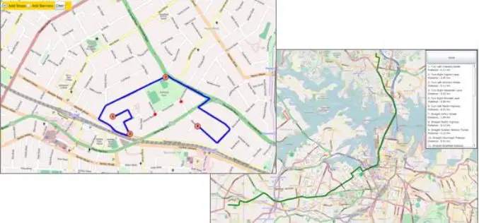
SuperGIS Server Silverlight API Samples Supports Powerful Network Analyses
Supergeo Technologies provides rich API samples for GIS developers to effortlessly customize web map services through SuperGIS Server 3.1a. Among them, SuperGIS Server Silverlight API newly includes the samples indicating
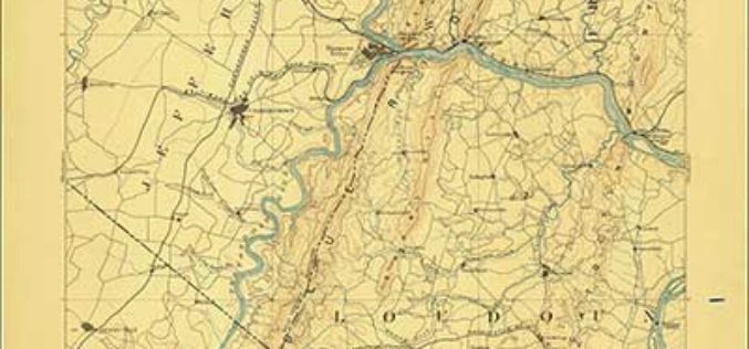
Revised North Dakota, Delaware and Maryland Maps Feature New Design
Newly designed US Topo maps covering North Dakota, Delaware and Maryland are now available online for free download US Topo maps now have a crisper, cleaner design – enhancing readability of
PR : Mapping Innovation Takes Center Stage at the Esri UC
May 22, 2014 Redlands, California—Geoenthusiasts from all over the world are preparing for the largest mapping and location event of the year, Esri User Conference (Esri UC), July 14–18 in San
PR: Trimble’s Inpho 5.7 Software Features New Capabilities to Reduce Processing Time and Improve Visualization
SUNNYVALE, Calif., May 22, 2014—Trimble (NASDAQ: TRMB) announced today enhancements to its Inpho® 5.7 software suite to address the needs of geospatial professionals engaged in the production of digital photogrammetry
Blue Marble Releases Global Mapper v15.2 with New Automation for Creating Features
Blue Marble Geographics (bluemarblegeo.com) is pleased to announce the release of Global Mapper version 15.2. This minor release features new functionality to automate the “New Feature Creation” process, as well
GeoServer 2.5.1 Released
The GeoServer team is happy to announce the release of GeoServer 2.5.1. GeoServer 2.5.1 is the next the stable release of GeoServer and is recommended for production deployment. Thanks to everyone
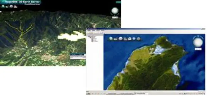
SuperGIS 3D Earth Server 3.2 to Enhance 3D Map Display Performance
Supergeo Technologies is going to release front end applications for enhanced 3D map display performance for SuperGIS 3D Earth Server 3.2 users. The desktop client application, SuperGIS 3D Earth, is
Meeting the Elevation Needs of the Nation
Nearly 25 state-specific fact sheets are now available to understand 3DEP applications Want to know how elevation will benefit your state? The USGS National Geospatial Program is advancing the 3D Elevation Program,


