Webinars
Extend Microstation CAD Designs to Mobile Users with TerraGo Edge
Live Webinar: CAD Data In the Palm of Your Hand: Extend Bentley Microstation CAD Designs to Mobile Users with TerraGo Edge August 4, 2015, 12:00PM – 12:30PM (ET) More and more CAD users
Esri Webinar: Create and Share ArcGIS Pro Tasks
ArcGIS Pro tasks are preconfigured steps that interactively guide a user through a specific workflow. Tasks make it easy for users of all GIS experience levels to complete standard workflows—from
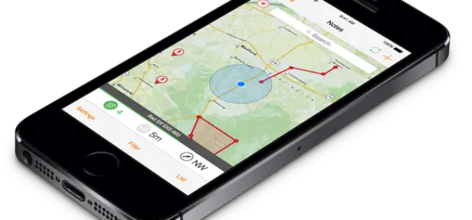
Utility Crews Tap into High Accuracy GPS with TerraGo Edge
Utility Crews Tap into High Accuracy GPS with TerraGo Edge July 28, 2015 12:00-12:30 PM ET When you’re working with utility infrastructure, accuracy isn’t optional. TerraGo Edge customers can get
Increase the Return on Your GIS Investment with GIS-Lite Applications
Increase the Return on Your GIS Investment with GIS-Lite Applications July 14, 2015 12:00-12:30 PM ET Deliver self-contained, interactive maps and lightweight GIS applications available to all end users with
USAID Learning Lab webinar: Going Geospatial with Impact Evaluations
Researchers at AidData have employed cutting-edge geospatial impact evaluation (GIE) methodologies to create new cost and time efficient ways to measure programmatic impact. The AidData Center for Development Policy is a
Webinar: Using GeoCalc Mode in Global Mapper
Webinar: Using GeoCalc Mode in Global Mapper July 30, 2015 No Registration Required Automatically available when a copy of Geographic Calculator 2015 is installed on the same computer as Global
Trimble Webinar: How Collecting High Quality GIS Field Data Can Improve Your Bottom Line
As a GIS professional, gathering the data around your organization’s field assets is critical to your decision-making process. You need to know the right location and information about the features
TerraGo Webinar: CAD Data in the Palm of Your Hand
CAD Data in the Palm of Your Hand June 23, 2015 12:00 – 12:30 PM ET Join this webinar to learn how to put CAD drawings in the hands of
SuperGIS Webinar: Smart Industrial Hazard Management with GIS
Smart Industrial Hazard Management with GIS To avoid chemical accident causes fatal damage of public lives, emergency dispatchers need various resources to plan prevention and response in advanced. Join SuperGIS
USGS Webinar: Using The National Map Services to Enable Your Web and Mobile Mapping Efforts
USGS Webinar: Using The National Map Services to Enable Your Web and Mobile Mapping Efforts Are you a developer, firm, or organization using mobile or web applications to enable your


