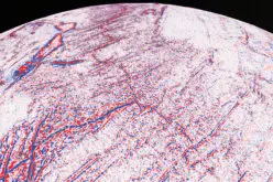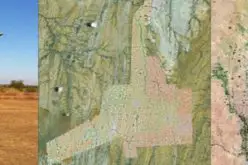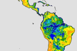
Credit: NASA SpaceFlight
China has entered into commercial market of remote sensing with the launch of the Jilin – 1 mission.
China has recently launched Jilin-1 mission carrying four satellites on Oct. 7, 2015 to provide photographs to commercial clients while helping with harvest assessment, geological disaster prevention and resource surveys.
The Jilin-1 mission was developed on the China’s Jilin Province and is the country’s first self-developed remote sensing satellite for commercial use.
Jilin-1 consists of four satellites, one for high-definition images, one for testing new space technology and another two for video.
Data will be provided to commercial clients to help them forecast and mitigate geological disasters, as well as shorten the time scale for the exploration of natural resources.
The four satellites are Jilin-1, Lingqiao-A, Lingqiao-B and LQSat.
Jilin 1 is a 420 kg high-definition optical satellite with a 0.72 m resolution pan-chromatic camera and 4 m resolution multi-spectral camera.
The Lingqiao-A and Lingqiao-B satellites are designed to capture videos with a 4K ultra-clear video resolution of 1.13 meters m on 4.3 x 2.4 km swaths. Weighing 95 kg each, its dimensions are 1.1 meter diameter and 1.2 length.
LQSat is a micro-satellite for technology demonstration designed by CIOMP. Its main payload is a camera with 2 m resolution.


