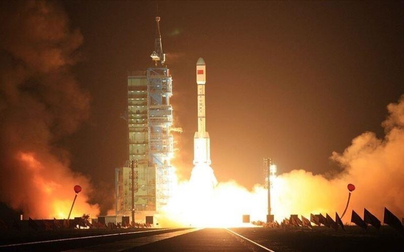
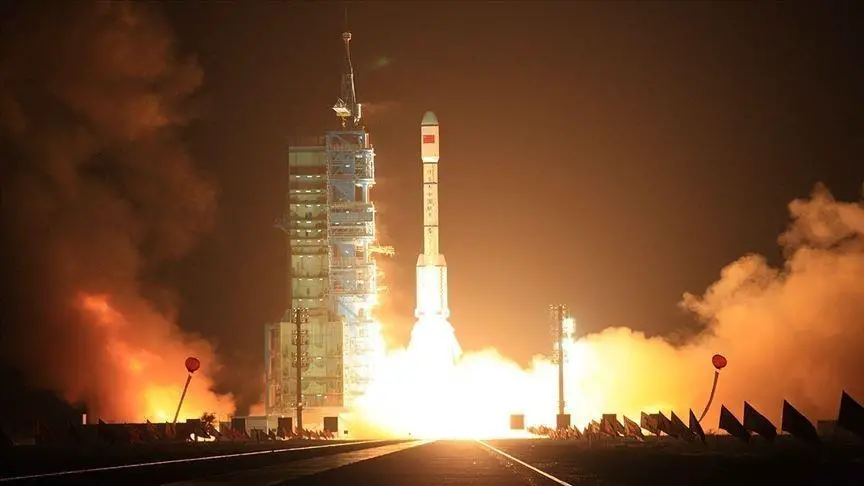
China has once again demonstrated its growing capabilities in space technology, as it successfully launched a remote-sensing satellite on Friday (March 31, 2023). The satellite, named Yaogan 34-04, was launched aboard a Long March 2C rocket from the Xichang Satellite Launch Center in southwestern China’s Sichuan province. The Long March 2C rocket is a two-stage launch vehicle that has been used for a variety of missions, including remote sensing and navigation satellites
This latest launch is just one in a series of recent successes for China’s space program, which has made significant strides in space exploration in recent years. With ambitious plans for future missions, China is quickly emerging as a major player in the global space race.
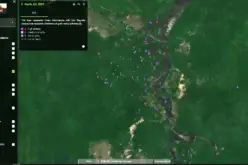
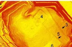
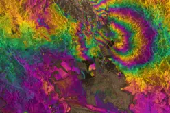
The specifics of the Yaogan 34-04 satellite’s capabilities and mission objectives have not been released by the Chinese government. However, previous launches in the Yaogan series have been linked to a range of applications, including mapping, geologic surveying, and environmental monitoring. It is widely believed that the Yaogan series of satellites have high-resolution imaging capabilities that can provide detailed information about various aspects of the Earth’s surface.
It is also speculated that the Yaogan series of satellites may be used for military reconnaissance purposes, although the Chinese government has not released detailed information about their capabilities or specific mission objectives.
Potential applications of Yaogan 34-04 satellite:
- Military reconnaissance: The Yaogan series of satellites have been linked to China’s military reconnaissance program, and it is widely believed that Yaogan 34-04 is no exception. The high-resolution imaging capabilities of the satellite could be used for intelligence gathering, surveillance, and monitoring of various targets.
- Mapping and geologic surveying: The high-resolution imaging capabilities of the satellite could be useful for mapping and geologic surveying, allowing for detailed analysis of the Earth’s surface and natural resources.
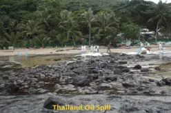
- Environmental monitoring: The satellite’s imaging capabilities could be used for environmental monitoring, including tracking changes in land use, monitoring forest cover, and analyzing the impact of natural disasters.
- Border and maritime security: The satellite’s imaging capabilities could be used for border and maritime security, including monitoring and patrolling of borders and coastlines.
China has been rapidly expanding its space program in recent years, with ambitious plans for future missions that include crewed lunar exploration, a Mars sample return mission, and the construction of a space-based solar power station. The success of the Yaogan 34-04 launch is another indication of China’s growing capabilities in space technology, and its determination to become a major player in the global space race.
Source: https://www.aa.com.tr/
Also Read –
China Launches Yaogan-30 Remote Sensing Satellite