
Archive

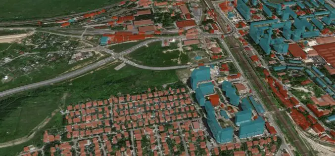
PlanetObserver Releases an all-new 10m Global Imagery Basemap
PlanetObserver is excited to announce the release of PlanetSAT Global 2023, a basemap that provides ready-to-perform, cloudless, and homogeneous imagery. PlanetSAT Global now has a refined 10m zoom level PlanetObserver
Geospatial Imagery Analytics Market is Expected to Reach USD 50 Bn By 2032
The Geospatial Imagery Analytics Market is set to grow from its current market value of more than $6 billion to over $50 billion by 2032; as reported in the latest

Discover How Terra Modus Utilized 3D Laser Scanning Technology to Measure and Model the Stormwater System of a European Capital City in Just 6 Months
In this 3D laser scanning case study you will discover how Terra Modus, a company specialising in 3D laser scanning and photogrammetry, tackled the challenge of measuring the largest stormwater
GeoAlert Unveils Latest AI Models for Building Footprints Customized to Specific Regions
GeoAlert has released new AI models for Building footprints customized to region-specific and unified them under the single Buildings pipeline. Currently, there are 3 global regions and 3 corresponding Building segmentation
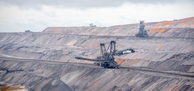
Revolutionizing Mine Surveying with Remote LiDAR Surveys via Internet: Drone-in-a-Box Technology
Remote mine LiDAR surveys via the internet (drone-in-a-box) is a technology that allows for the remote surveying of mines using LiDAR (Light Detection and Ranging) technology. This technology involves the

New Digital Map of Underground Pipes and Cables for the United Kingdom
Ordnance Survey, the national mapping agency for Great Britain, has partnered with Atkins, 1Spatial, GeoPlace, and the Greater London Authority (GLA) to support the release of a new digital map
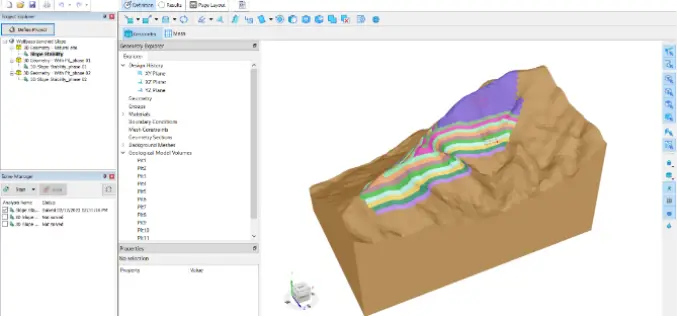
SLOPE3D: Advanced Slope Stability Analysis Tool for Safer Engineering Design
The Bentley Subsurface Company has unveiled SLOPE3D, a state-of-the-art tool for analyzing slope stability that enables geotechnical engineers and engineering geologists to design safer slopes. SLOPE3D is an upgraded version

Mussoorie Dehradun Development Authority Embraces Technology: Digital Master Plan for Dehradun Until 2041
The Mussoorie Dehradun Development Authority (MDDA) has prepared a digital master plan for Dehradun till the year 2041. The master plan is a blueprint for the city’s development, and it
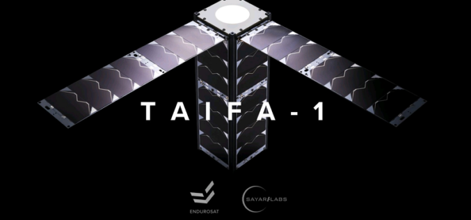
Kenya Teams Up with SpaceX to Launch Earth Observation Satellite Taifa-1
Kenya is set to make history by launching its first-ever Earth observation satellite Taifa-1 in collaboration with SpaceX. The East African country has been making significant strides in its space
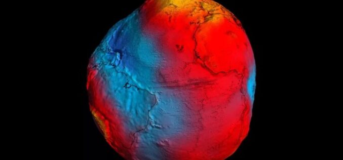
The Power of Geodetic Data: Accessing GGOS Portal for Research and Analysis
The Global Geodetic Observing System (GGOS) portal is a centralized access point for geodetic data. It provides access to a wide range of data related to Earth’s gravity field, geodetic
