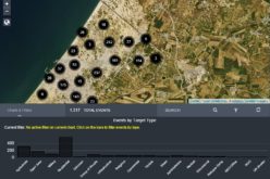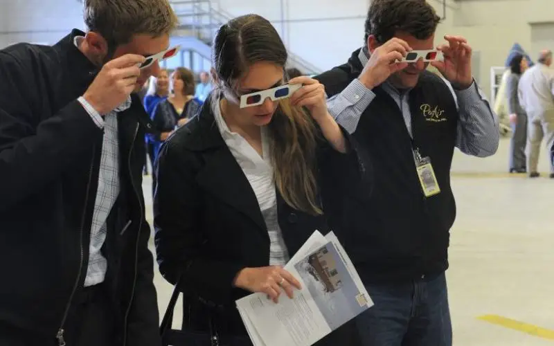

Mark Henspeter and Caitlan Dowling with the State of Alaska Department of Natural Resources and Matthew Macri, PenAir director of operations, look at a 3-D map of Wrangell-St. Elias National Park and Preserve as people gathered at the FedEx maintenance hanger at Ted Stevens International Airport to celebrate the halfway mark in the digital elevation mapping of Alaska on Tuesday, Aug. 18, 2015.
Bob Hallinen / ADN
As reported in Alaska Dispatch News, Alaska is one-fifth the size of the U.S. and covered with treacherous terrain, because of which creating map of such areas is quite difficult in terms.
A new technology, Interferometric synthetic aperture radar technology, or IfSAR is being used to create more accurate digital maps than ever before.
The project has roots dating back to 2006, and received more political interest in Obama administration. Federal agencies such as the U.S. Geological Survey, the U.S. Department of Interior and the National Park Service, as well as the state, have contributed about $41.4 million in funding since then. Officials estimated it will cost another $26 million and a few more years to complete it.
Three private firms have been awarded contracts to do it; one of them is Intermap Technologies Inc., which is covering about 70 persent of Alaska State.
Ian Wosiski, the company’s sales director said:
“It’s just much bigger and harsher and more remote and less developed,” Wosiski said. “You can’t jump in a pickup truck with these sensors and place them. You have to spend money on the helicopter.”
The halfway mark inspired Gov. Bill Walker to sign a proclamation Tuesday declaring September Aviation Appreciation Month. Walker said that aviation is a $1 billion business in the state and that there are 9,000 registered aircraft in Alaska, and many places that can only be accessed by air.
“You live in Alaska, you fly and you fly a lot,” he said. “What we do in the air traffic world has become safer because of what this program represents.”