Drone2Map for ArcGIS is Now Available
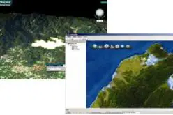
Esri is pleased to announce the release of Drone2Map for ArcGIS, our new desktop app that allows you to turn drone-captured still imagery into professional-quality imagery products in ArcGIS—in minutes, not days.
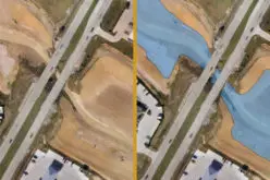
Drone2Map detects your camera and sensor parameters and intelligently applies the right defaults to turn your imagery into stunning information products inside ArcGIS, where they are useful immediately. You can also do in-field rapid processing of your drone-captured imagery to make sure you captured what you need, avoiding costly return trips.
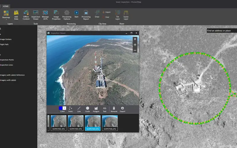
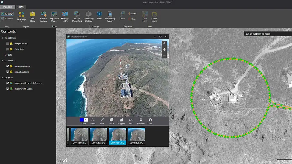
Lighthouse customers have affirmed that Drone2Map enables them to do more cost-effective and frequent monitoring of assets and areas because it can be used on demand to produce professional quality 2D and 3D imagery quickly. Because the imagery is in ArcGIS, analysis can be done right away to support informed decision-making.