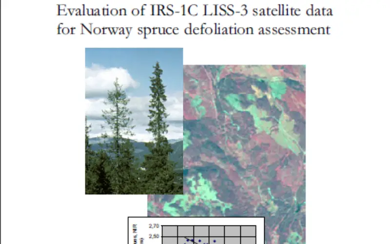
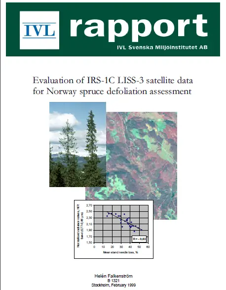
Evaluation of IRS-1C LISS-3 satellite data for Norway spruce defoliation assessment
Evaluation of IRS-1C LISS-3 satellite data for Norway spruce defoliation assessment
Download Evaluation of IRS-1C LISS-3 satellite data for Norway spruce defoliation assessment
“This blog does not host any contents or data. All the files linked to other website and the contents belongs to the respected owner or of their proprietary .”
Admin