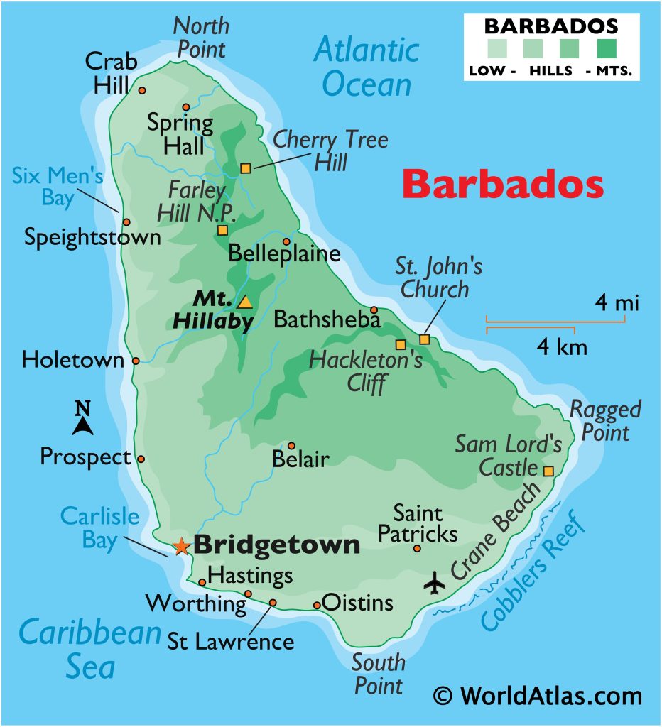
Barbados has launched a new geospatial map to enhance support for its vulnerable populations. Announced by Minister of People Empowerment and Elder Affairs, Kirk Humphrey, this map aims to improve the identification and assistance of individuals in need before and after disasters.
The geospatial map allows officials to pinpoint locations of emergency facilities, bus routes, and other critical resources in relation to the vulnerable population. This functionality is expected to significantly speed up response times during emergencies, such as hurricanes.

Speaking at a press briefing at the Barbados Water Authority headquarters, Humphrey detailed how the map will help locate vulnerable persons and connect them with essential services. The map utilizes data from 15,983 clients, revealing that approximately 17,244 individuals are deemed vulnerable.
Humphrey explained that the map will also help identify specific needs, such as home repairs or eligibility for the Ministry’s One Family Programme. The system categorizes 1,508 individuals as the most vulnerable, 320 as persons with disabilities, and 8,623 as active welfare clients. This information will support the Welfare Department in providing targeted assistance.
The Ministry is collaborating with the Department of Emergency Management (DEM) to keep the map’s data current. Residents are encouraged to provide information about individuals they believe to be vulnerable to ensure the map is as accurate and comprehensive as possible.
Humphrey noted that since the data collection began, an additional 800 persons have been added to the list, highlighting the map’s evolving importance.
The new geospatial map represents a significant step forward in improving the island’s capacity to respond effectively to the needs of its most vulnerable citizens.
For more information or to report vulnerable persons, the Ministry can be contacted at 536-4673 (HOPE) or via email at ps.people@barbados.gov.bb.
Source: Loop
GIS Resources is an initiative of Spatial Media and Services Enterprises with the purpose that everyone can enrich their knowledge and develop competitiveness. GIS Resources is a global platform, for latest and high-quality information source for the geospatial industry, brings you the latest insights into the developments in geospatial science and technology.

