Indonesia Launches Airborne Gravity Gradiometry Mission to Map New Oil and Gas in Sulawesi
Indonesia has launched an ambitious airborne survey across Sulawesi to locate new oil and gas reserves, marking a major push to strengthen national energy security. The Geological Agency began the operation in the Lariang Basin of West Sulawesi and the Enrekang Basin of South Sulawesi — two regions that remain under-explored despite their strong geological potential. The campaign uses advanced airborne gravity gradiometry technology to capture high-resolution subsurface data and guide future exploration.
According to officials, the survey covers nearly 33,000 kilometres of flight lines. Fixed-wing aircraft are being deployed to scan flat terrain, while helicopters will handle rugged and mountainous zones. This dual-platform strategy ensures that the geological team can collect complete data across the diverse Sulawesi landscape. The effort is expected to produce detailed structural maps that will help identify hidden traps and sedimentary layers where hydrocarbons may be present.
Also Read – USGS Advances Colorado Geological Mapping with Low-Flying Helicopters
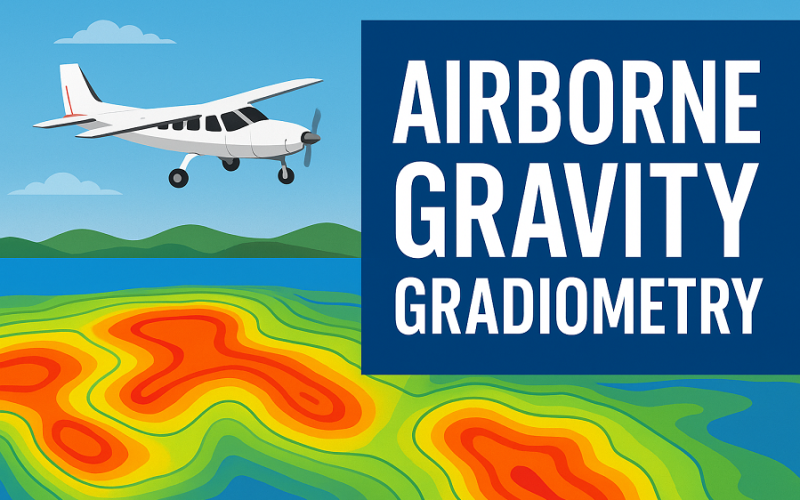
What is Full Tensor Airborne Gravity Gradiometry and How Does It Help Find Oil and Gas?
The survey’s core tool is FT/AGG — Full Tensor Airborne Gravity Gradiometry — a geophysical method designed to detect extremely small variations in the Earth’s gravitational field. These variations occur because different rock types have different densities. When aircraft equipped with FT/AGG sensors fly over an area, they measure these density contrasts, revealing subsurface structures that are otherwise invisible.
FT/AGG is especially useful in regions with difficult terrain, dense forest, or limited road access. Instead of spending months on ground surveys, aircraft can rapidly map vast areas with high accuracy. Once airborne gravity gradiometry identifies gravity anomalies, geologists can prioritise these zones for seismic surveys or drilling. This reduces exploration cost and risk while increasing the chances of discovering viable oil and gas deposits.
Around the world, FT/AGG is widely used in frontier basins because it helps companies understand basin architecture early in the exploration phase. For Indonesia, this technology provides a faster and more environmentally responsible way to evaluate remote basins like Lariang and Enrekang.
A Strategic Push for New Energy Resources
Indonesia has 128 sedimentary basins, but only around 20 are currently producing hydrocarbons. Many of the remaining basins — including those in Sulawesi — have never undergone detailed mapping. Through this survey, the Geological Agency aims not only to update national subsurface data but also to attract fresh investment into frontier exploration.
If successful, the initiative could open new opportunities for oil and gas development and support Indonesia’s long-term energy resilience. The project also reinforces the country’s commitment to modern exploration tools, with airborne gravity gradiometry serving as a central technology for identifying hidden hydrocarbon prospects.
Source: Jakarta Globe, JPT, Vietnam+