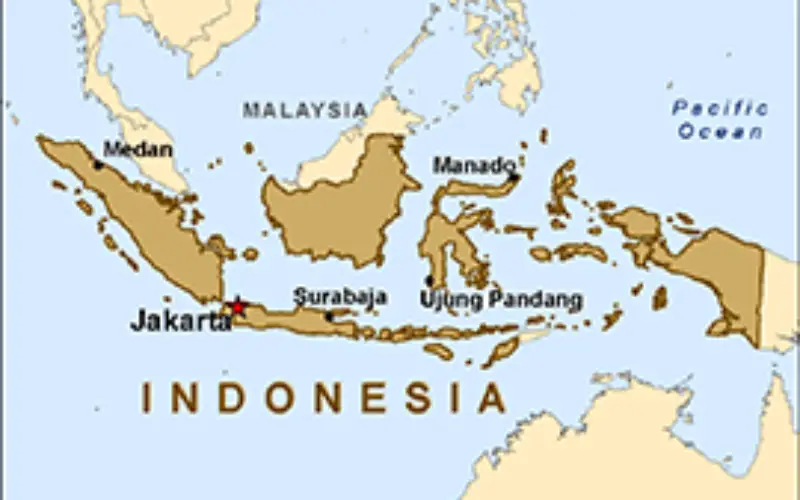
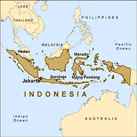
 The City of Depok, located in the West Java Province, Indonesia, has cemented its commitment to achieve smart city status by 2025 by leveraging state-of-the-art mapping technology to boost government efficiency and productivity.
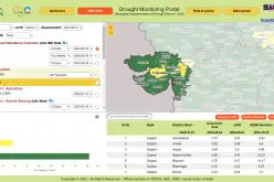
Using GIS technology would not only give agencies a digitally enabled and integrated system that will tie their information together, but it would also lessen administrative procedures and human error in data collection.
The partnership between the City of Depok and Esri Indonesia will also include the creation of a broad-reaching spatial policy that would see 16 other government agencies actively share their geospatial data on a common platform.
The goal of the initiative is to enable agencies to better meet the development needs of their respective communities by providing planners and decision-makers with easy access to regional geographic insights.
“By opening up access to information that would otherwise be trapped in data silos, decision-makers will have the ability to make more informed choices on a range of areas including resource and budget allocations, policy development and urban planning,” Mr Widyawisaksana said.
“Furthermore, with the potential for this information to be delivered in real-time, decision-makers will have the ability to quickly assess the impact and overarching value of new initiatives on the community.”
Source: Eco-Business