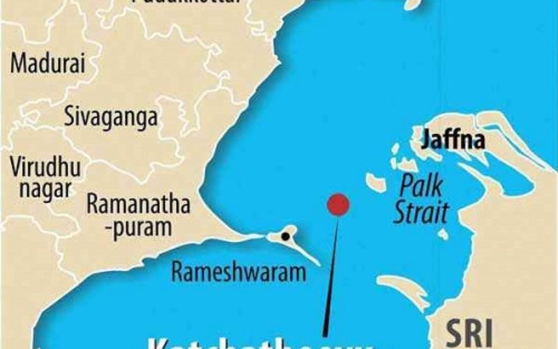
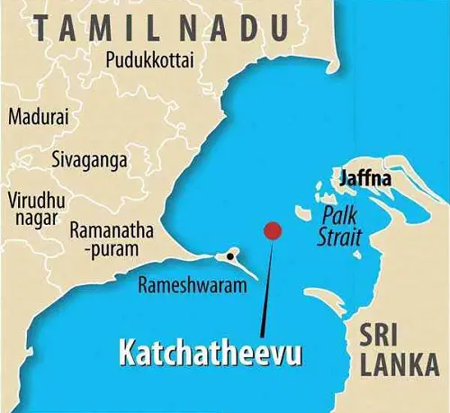
The Centre has taken the controversial stand that Katchatheevu in the Palk Strait off Rameswaram coast in Tamil Nadu was never part of India, but a senior geologist and remote sensing expert says remote sensing satellite data shows that the islet was geologically linked to Indian landmass.
“Katchatheevu belonged to the Ramanathapuram Samasthanam (kingdom) not only as per revenue record but even geologically it was connected to Indian landmass,” said Prof S M Ramasamy, Director of Centre for Remote Sensing in the Bharathidasan University.
The Indian Remote Sensing satellite data and ETOPO (sea bed topography) data proved that geologically, Katchatheevu had continuity to Pisasumunai at the tip of Rameswaram island, he told PTI.
Katchatheevu
While islands off Jaffna in Sri Lanka up to Delft island were accurately arranged encircling the northern province and also had semi-consolidated Holocene sediments of more than 4,000 years, Katchatheevu is made of sands of later period equivalent to Rameswaram which is around 3,500 years old as revealed in radiocarbon dating.
In its response to petitions by Chief Minister Jayalalithaa and others in Supreme Court seeking retrieval of Katchatheevu, the Union Government has taken the stand that no territory belonging to India was ceded to Sri Lanka, implying the islet was never part of the country.
According to Ramasamy, Indian coast was unique with alternate convexities and concavities and also peaks and projections. The longshore/littoral currents were the vibrant geological agent along the coast that formed the islands by dumping sediments and sand from Bay of Bengal-bound Tamil Nadu rivers.
The bidirectional currents dumped sediments as Bay Mouth Bars along the river mouths, long and linear bundles of beach ridges and long and linear detached offshore islands.
Thus, the sands brought from the Tamil Nadu rivers by currents have been dumped up to Pisasumunai and also to form Katchatheevu. Sand found in both the islands had the same characteristics including colour, he said.
In images obtained from Indian remote sensing satellites, these dumped sands are clearly seen in brown colour between Ramanathapuram and Mandapam and in yellow colour in Mandapam-Pisasumunai stretch in ETOPO data. The continuity of sand bodies is clearly seen in yellow colour between Pisasumunai and Katchatheevu.
“Thus Katchatheevu is geologically and genetically connected to India,” Ramasamy, a former vice-chancellor of Gandhigram University, said.
Source: PTI