Low-flying Airplane Mapping Geology and Mineral Resources Over the Eastern Adirondacks
Residents of Essex and Clinton counties in New York may notice an airplane flying a grid pattern at low altitude for a few weeks in December as scientists from the U.S. Geological Survey map buried geological features that provide clues into mineral resources in the area.
The region was known for iron mining in the late 1800s and early 1900’s, but it also contains deposits of rare earth minerals which have become increasingly important. Rare earth minerals are used in advanced technology such as in cell phones, rechargeable batteries and super-magnets. The surveys will measure subtle changes in Earth’s magnetic field that reflect different types of buried rock. They will also measure low, background levels of natural radioactivity that help with mapping different types of surface rocks. Together, these data will allow visualization of geological structures at and beneath the surface.
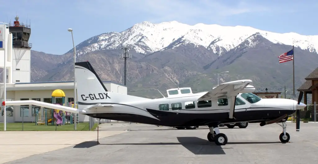
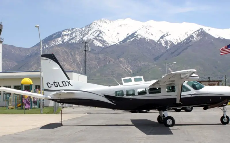
The airplane that will be doing overflights in Essex and Clinton Counties, flying a grid pattern at low altitude for a few weeks in December. Photo credit: Goldak Airborne Survey.
The flights, which will take place at altitudes as low as 400 feet above ground level, are expected to take about seven days to complete but may be spread over a few weeks due to weather considerations. Should snow blanket the area and stay the flights may be postponed until spring, as snow on the ground affects how well the sensors work.
“We’re really hoping to get the flights in before snow blankets the area for winter,” said Anji Shah, the USGS research geophysicist heading up the project. The surveys will provide key insights into the geology of the area, mineral resource potential, and the development of tools that help with exploration.
The USGS is working with state and local officials as well as the New York State Geological Survey to coordinate the flight surveys. The specially modified aircraft will be operated by experienced pilots who are trained and approved for low-level flying. They will be flying a grid pattern, similar to the back-and-forth pattern people frequently use when mowing a lawn, collecting data over a roughly 450 square mile area.
The results of the study will be published online when complete.