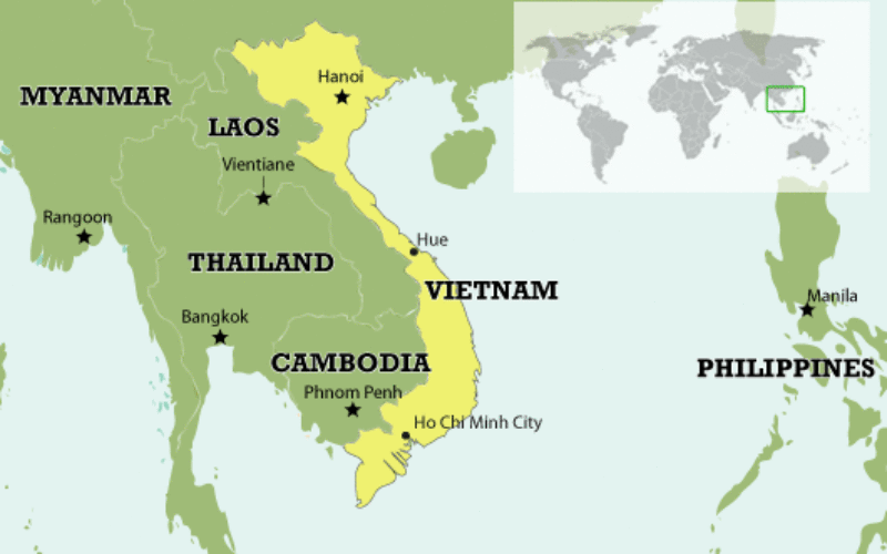
 According to news published in Vietnamnet, Vietnam has completed the spatial database of country’s entire territorial waters, including Hoang Sa (Paracel) and Truong Sa (Spratly) archipelagos.
The database have multi-temporal satellite data and features the topography of Hoang Sa and Truong Sa archipelagos; the surface of coastal areas; the physical, chemical and biological features of marine ecosystems; and a multi-temporal monitoring system, Deputy Minister of Natural Resources and the Environment Pham Ngoc Hien said.
The system will help track changes in marine and island natural resources to safeguard national defence and sovereignty.
According to Nguyen Xuan Lam, head of the National Remote Sensing Department under the Ministry of Natural Resources and the Environment, numerous maritime studies, mapping exercises and geological surveys were conducted previously; however, none were able to give a complete overview of Vietnam’s territorial waters, especially Hoang Sa and Truong Sa archipelagos.
The application of remote sensing technology, far superior to conventional methods, is therefore a valuable part of research on the country’s sea and island environmental resources, and is particularly useful for off-shore and inaccessible areas, Lam said.
Source: Vietnamnet