New Regional Center for Geodesy at IIT ISM to Provide High-Precision GNSS Data
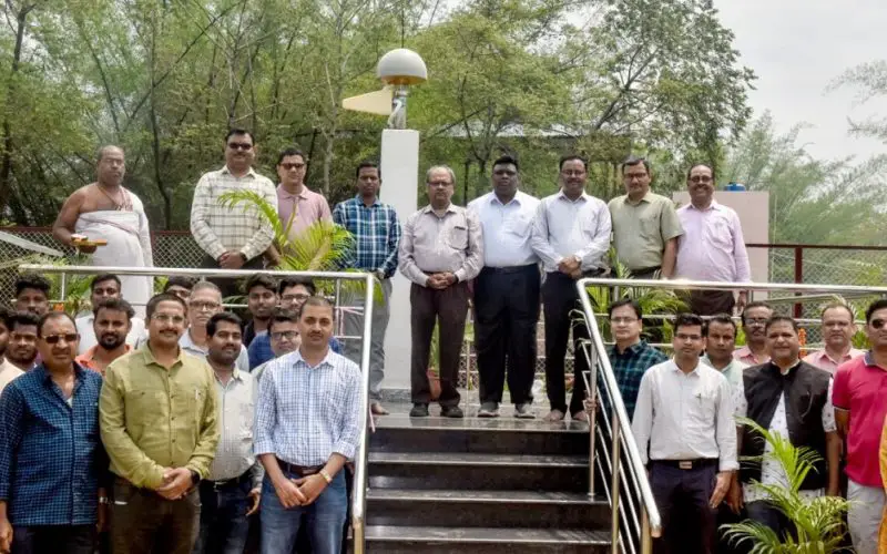
In a move to strengthen India’s geospatial research and mapping capabilities, IIT ISM Dhanbad has inaugurated the Regional Center for Geodesy (RCG). This newly established center is aimed at enhancing the precision of Earth mapping and contributing significantly to national scientific and infrastructure development.
The RCG is equipped with a Continuously Operating Reference Station (CORS), which will deliver real-time, high-precision Global Navigation Satellite System (GNSS) data. This data will be critical for various applications, including surveying, navigation, civil engineering, and disaster monitoring.
At the inauguration, Professor Sukumar Mishra, Director of IIT ISM, highlighted the importance of the center in promoting geospatial excellence in the region. He stated that the Regional Center for Geodesy would serve as a hub for both scientific research and practical applications across multiple domains.
Also Read – Nigeria Geodetic VLBI Project: A Leap in Geodesy and Technology
Other key dignitaries at the event included Professor Dheeraj Kumar, Deputy Director and Advisor of the RCG, and Professor Prabodh Pandey, Registrar of IIT ISM. Professor V.G.K. Villuri, the Center Coordinator, explained that the CORS infrastructure will not only provide data for mapping but will also support studies in meteorology, tectonics, seismology, and hydrology.
Officials noted that such initiatives will help unify geospatial data standards across sectors, improving efficiency and decision-making in industries that depend on accurate spatial data.
With the establishment of the Regional Center for Geodesy, IIT ISM Dhanbad positions itself as a leader in advancing geospatial science in India. The center is expected to foster innovation, research, and collaboration, supporting both academic pursuits and national development agendas.
Source: thejharkhandstory.co.in