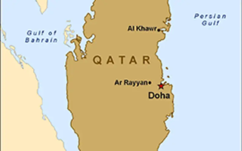
 In recent news, Qatar is developing a geographical information system (GIS) to map and analyse its marine resources, mainly fishing reserves.
The fisheries department is busy assessing the country’s fish reserves and working on a pilot project to develop plans on how to manage fishing areas.
The idea is to develop a national database to help rationalise the exploitation of the country’s fishing stocks, according to a report of the general secretariat of the Cabinet for 2014.
Technical reports have already been prepared on various types of fish found in Qatari waters, including shark and hamour.
Categories:
GIS