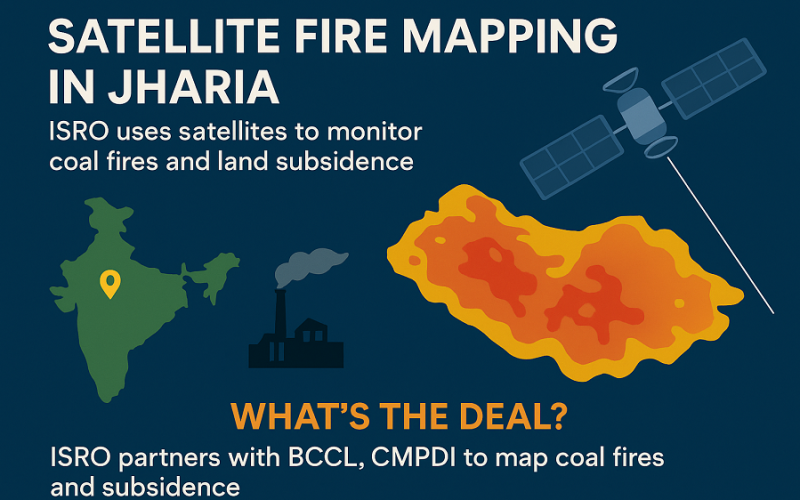
Indian Space Research Organisation (ISRO) has entered a pivotal collaboration to employ advanced remote sensing for the long-standing problem of the Jharia Coalfield. The joint initiative marks a major step in using geospatial-AI techniques for coal-fire and land-subsidence monitoring. In this article we explore how this “satellite fire mapping” approach will help address those risks.
What’s the deal?
On 15 October 2025, ISRO’s National Remote Sensing Centre (NRSC) signed a tripartite memorandum of understanding (MoU) with Bharat Coking Coal Limited (BCCL) and Central Mine Planning & Design Institute Limited (CMPDI). The MoU covers the period 2025-27 and is titled “Delineation of Surface coal fire and associated land subsidence in Jharia coalfield… using satellite based Remote sensing techniques.”
Methodology: AI & remote sensing in action
The project will apply a suite of remote-sensing technologies:
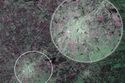
- Thermal Infrared (TIR) and Short Wave Infrared (SWIR) imagery to detect surface and near-surface coal-fires on a quarterly basis.
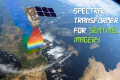
- Synthetic Aperture Radar (SAR) interferometry, using satellites such as NISAR and Sentinel‑1, to monitor land‐subsidence annually.
- All findings will be validated on the ground with BCCL and CMPDI.
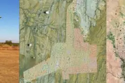
By combining data layers and applying AI-driven analytics, this “satellite fire mapping” design aims to deliver actionable maps—for example, where fires are most active and where land is shifting dangerously.
Why this matters
The Jharia Coalfield has been plagued by underground and surface coal-fires for decades, causing loss of ground, structural damage, emissions and subsidence. With the new “satellite fire mapping” initiative, ISRO and its partners hope to:
- Provide up-to-date and high-resolution maps of coal-fire hotspots.
- Identify zones of land-subsidence early to enable safer mine-planning and community relocation.
- Support the Ministry of Coal’s Jharia Master Plan via monitoring and intervention.
You might have seen YouTube videos or shorts showing glowing hot-spots in coal-fields or thermal imagery of fires — this project aims to bring that kind of visualization into sustained operational use in Jharia.
What to expect and next steps
The first quarterly maps of fire-activity will likely roll out in the coming months. Annual subsidence reports will follow. Over time, this “satellite fire mapping” could become a model for other fire-affected mining regions in India and beyond.
Conclusion
By marrying AI, thermal & radar remote-sensing and ground validation, the satellite fire mapping initiative in Jharia marks a leap forward in geospatial mining-risk management. Stakeholders—miners, communities, regulators—now have access to near-real-time, data‐driven insight into underground fire-threats and ground instability. Let us know in the comments below: What additional applications of such satellite systems would you most like to see?
Source: ISRO, devdiscourse.com