
Tag "arcgis"
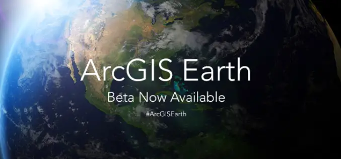
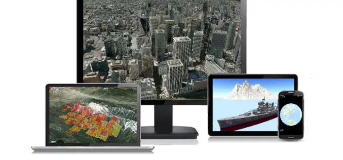
ArcGIS Earth Beta Now Available
Sign up for the beta program for ArcGIS Earth beta to download, Esri’s new 3D app. By participating in the program, you will be among the first to test-drive a prerelease

NASA Webinar – Geospatial Data Abstraction Library (GDAL) Enhancements for GIS
Geospatial Data Abstraction Library (GDAL) Enhancements for GIS Thursday, October 29, 2015 at 2pm ET Enable your Earth Observing data products to work in applications built on GDAL, such as

Innovative Tools for Building Mapping Apps Take Center Stage at Esri DevSummit in Berlin
Highlights Include App Builders and Modernized APIs and SDKs Redlands, California—Developers from around the world will find the latest technology for building geoenabled apps on the ArcGIS platform at the

Esri and Trimble Offer the R1 GNSS Receiver to Enhance Field GIS Workflows
Professional-Grade GPS Accuracy Now Available for Collector for ArcGIS App Redlands, California—Esri announced today the availability of the Trimble R1 Global Navigation Satellite System (GNSS) receiver for collecting professional-grade GPS
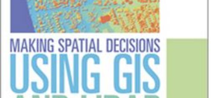
Learn to Make Decisions Using Lidar Data and Geographic Information Systems
New Esri Workbook Teaches Analysis Skills, Combining Lidar Data and ArcGIS Software Redlands, California—A new book published by Esri teaches how to use geographic information system (GIS) software to analyze

Esri Photo Survey Speeds Property Surveys
ArcGIS for Local Government Solution Leverages Street-Level Photos to Simplify Survey Data Collection Redlands, California—To eliminate blight and revitalize neighborhoods, many local governments use large teams of volunteers to evaluate

Webinar on Transition of ENVI Analytics from Desktop to Web
Webinar on Transition of ENVI Analytics from Desktop to Web Tuesday, September 15, 2015 1:30 pm Singapore Time (Singapore, GMT+08:00) Geospatial imagery is used more and more across industries because
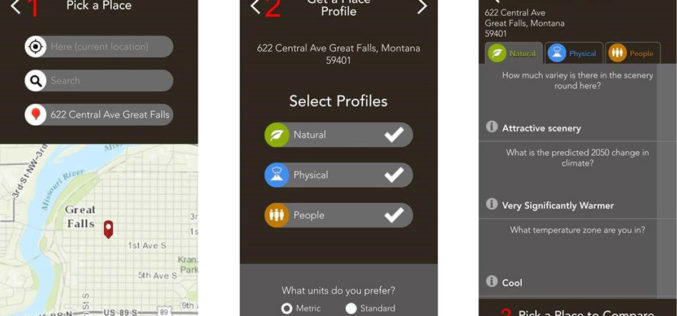
Mobile App Puts Power of Place in People’s Hands
New Featured Maps Deliver Insights into Mankind’s Relationship with the World Redlands, California—Smartphone users now have access to Field Notes—Earth, a new mobile app from Esri that employs the power
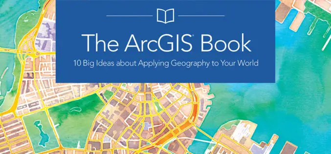
The ArcGIS Book: 10 Big Ideas about Applying Geography to Your World
Learn to Make GIS Web Maps, Work with Mobile Apps, and Do More, Using The ArcGIS Book from Esri People around the world are discovering that online maps do more
Get the Latest version 10.2.6 of the ArcGIS Runtime SDK for .NET
Esri has announced the release of latest version 10.2.6 of the ArcGIS Runtime SDK for .NET. The allows to integrate ArcGIS functionality into Windows apps for desktop and mobile. SDK also
