
Tag "arcgis"
What’s New in ArcGIS Online June Release
The June update of ArcGIS Online features improvements to item pages, updated content, and more options for administrators. Improved Item Pages Check out the redesign. It includes better work flows,

Esri India Webinar: What’s new in ArcGIS 10.4 Desktop?
Esri India Webinar: What’s new in ArcGIS 10.4 Desktop? 2nd June 2016, 11:00 AM IST onwards ArcGIS 10.4, the latest release, includes exciting new capabilities for visualizing and analyzing data.
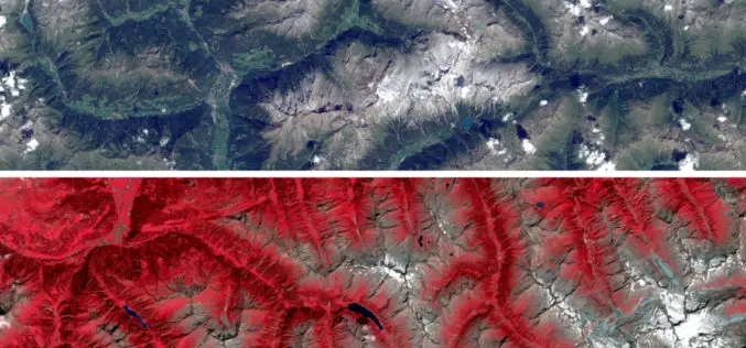
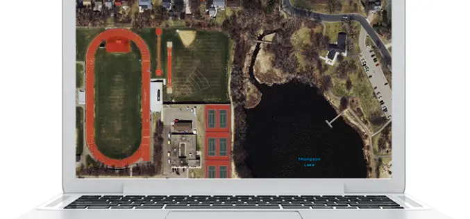
Sentinel Imagery Now Works Inside ArcGIS
Redlands, California—Esri enhanced its ArcGIS technology to simplify the use of free global imagery from the Sentinel-2 satellite launched by the European Space Agency. ArcGIS supports visualization, interpretation, and analysis
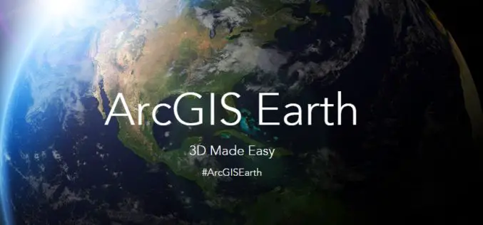
What’s New in ArcGIS Earth 1.1
ArcGIS Earth, a free, desktop-based interactive globe that anyone can use to explore the world and work with a variety of 3D and 2D map data formats including KML. ArcGIS

Esri Webinar: Drone2Map for Engineering and Construction
Drone2Map for Engineering and Construction Tue, Apr 26, 2016 11:30 PM – Wed, Apr 27, 2016 12:30 AM IST Unmanned aerial systems enable engineers to better understand the terrain they
Esri Webinar: Eyes on the World
Eyes on the World Wed, Apr 20, 2016 | 1:30 AM – 2:30 AM IST Wed, Apr 20, 2016 | 6:30 AM – 7:30 AM IST Drones, UASs, and UAVs
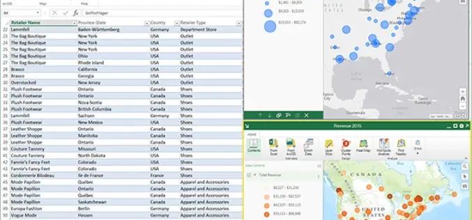
ArcGIS Maps for Office to Brings Mapping Capabilities into Microsoft Excel and Microsoft PowerPoint
ArcGIS Maps for Office, part of the ArcGIS platform, is an add-in for Microsoft Office that brings mapping capabilities into Microsoft Excel and Microsoft PowerPoint. With ArcGIS Maps for Office,
Esri India Webinar: Leveraging ArcGIS Platform & CityEngine for GIS based Master Plans
Esri India Webinar: Leveraging ArcGIS Platform & CityEngine for GIS-based Master Plans Tuesday, March 29, 2016, 1:30 pm Singapore Time (Singapore, GMT+08:00) Sustainable, scalable and future-ready urban development is one the

Esri Showcases Open Opportunity Data in ArcGIS Platform at White House Demo Event
Redlands, California—Esri took part in the Expanding Opportunity with Open Data: A White House Demonstration on March 7, 2016. The event showcased digital tools that help people advocate for resources

World Geocoder for ArcGIS
Redlands, California—Esri released World Geocoder for ArcGIS today. World Geocoder for ArcGIS enables users to securely map global addresses behind a firewall so that sensitive data is never exposed. Geocoding
