
Tag "ArcticDEM"
ArcticDEM Project Has Now Mapped More Than 65 Percent of The Arctic
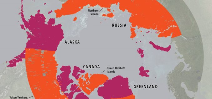
ArcticDEM Release 5 represents the largest release of elevation data to date, more than doubling the number of available strip DEMs, mosaic tiles and geographic coverage area of all releases
NGA Releases Biggest Collection of Arctic Elevation Data Yet at Esri FedGIS Conference
ArcticDEM Provides High-Quality Elevation Data and Enables Communities to Take Action Redlands, California—Esri, the global leader in spatial analytics, together with the ArcticDEM project—a public-private initiative to produce high-resolution, high-quality
Esri Releases New Arctic Elevation Data
ArcticDEM Provides New Insight into Effects of Climate Change and Enables Communities to Take Early Action Redlands, California—Global smart-mapping leader Esri and the ArcticDEM project, a public-private initiative to produce
NSF and NGA Support Development of New Topographic Maps of the Arctic
The National Science Foundation (NSF), in partnership with the National Geospatial-Intelligence Agency (NGA), is supporting development of high-resolution topographic maps of the Arctic that for the first time will provide
