
Tag "Canada"
OGC Announces Creation of Regional Canada Forum on Geospatial Standards
Members of the Canadian geomatics community have chartered the ‘Canada Forum on Geospatial Standards’ as a venue for collaboration on geospatial standardisation activities May 31, 2018 – The Open Geospatial Consortium

ICLR Webinar on Canadian Wildland Fire Interface Maps: Tools for Wildland Fire Protection
Canadian wildland fire interface maps: Tools for wildland fire protection of our communities, industries, and infrastructure Feb 17, 2017 10:00 AM in Eastern Time (US and Canada) Wildland fires have

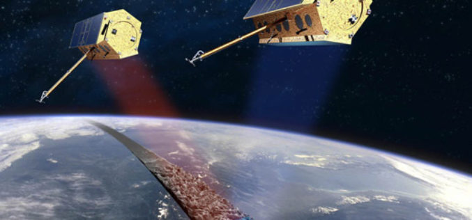
TerraSAR-X and RADARSAT-2 to Improve Monitoring Over North Canadian Region
– The German Aerospace Center (DLR) has awarded Airbus Defence and Space with two research projects to enhance Emergency Preparedness and Safety of Operations in collaboration with Canadian partners –

Bring Spatial Skills to Canadian Children, Become a GIS Ambassador
Geospatial professionals, educators & students encouraged to help youth develop problem-solving skills using technology Spatial thinking involves understanding the relationships between objects based on their location and learning the importance
Free Provision of TerraSAR-X and TanDEM-X Data for Government Studies and Professional Training in Canada
Airbus Defence and Space has signed an agreement with the Canada Centre for Mapping and Earth Observation (CCMEO) providing Canadian governmental and institutional data users free access to TerraSAR-X and

FME International User Conference 2014 Content Available Online
Safe Software Celebrates 20 Years at Largest FME User Event Ever Vancouver, BC, June 26, 2014 – Safe Software, makers of FME®, the leading spatial data transformation technology, announced today
