
Tag "ESRi"

Esri Showcases Open Opportunity Data in ArcGIS Platform at White House Demo Event
Redlands, California—Esri took part in the Expanding Opportunity with Open Data: A White House Demonstration on March 7, 2016. The event showcased digital tools that help people advocate for resources

Learn What Location Analysis Can Bring to Your Business
Esri’s free classes highlighting the benefits of location analysis continue with The Location Advantage. The course is business oriented and explores market planning, site selection, market analysis, and supply chain

Webinar: Location Intelligence and GIS in a Modern BI World
An expert’s take on how the shift to modern BI and Analytics platforms will impact the future of Location Analytics Thursday March 17, 9-9:30am PST / 12-12:30pm EST Hosted discussion by CMaps Analytics
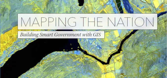
New Esri Book Shows How Government Turns Data into Meaningful Maps
Redlands, California—Mapping the Nation: Building Smart Government with GIS, a new book from Esri, illustrates the many ways government uses maps created with geographic information system (GIS) technology to create

World Geocoder for ArcGIS
Redlands, California—Esri released World Geocoder for ArcGIS today. World Geocoder for ArcGIS enables users to securely map global addresses behind a firewall so that sensitive data is never exposed. Geocoding
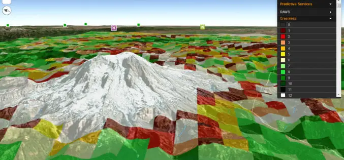
Fire Globe Delivers Esri 3D Visualization to US Firefighters
The National Interagency Fire Center Migrates to the Esri Platform and Improves Situational Awareness Redlands, California—The National Interagency Fire Center (NIFC) has transferred its web GIS application, Fire Globe, to

Vricon Joins Esri Partner Network to Expand Use of High-Resolution 3D Geodata
Redlands, California—Vricon, a leading provider of photo-realistic 3D mapping products and digital elevation models for the defense and security industries, is now a member of the Esri Partner Network. Vricon’s
Story maps by Esri Inc
Contributed By – Everyone has a story to tell.Harness the power of maps to tell yours. Esri Story Maps let you combine authoritative maps with narrative text, images, and multimedia
Esri Announces Big Changes to Small Government Enterprise License Agreement Program
Now Governments with Populations Up to 250,000 Are Eligible Esri has announced a significant change to its Small Municipal and County Government Enterprise License Agreement (ELA) program. Municipal and county
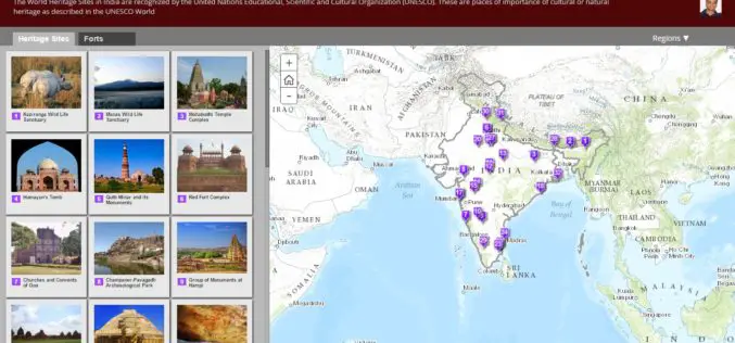
Indian Meteorological Department Deploys a Web GIS Solution to Deliver Real-time Weather Forecast
According to recent news by The Times of India, the Indian Meteorological Department (IMD) has deployed a web GIS solution in order to deliver real-time highway weather forecast updates. The Highway
