
Tag "forest map"
GIS
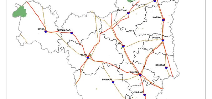
Haryana is Developing GIS-based Digital Map of Forest Areas in the State
According to the recent news, Haryana forest department is using geographic information system (GIS)-based digital mapping of forest areas in the state, this will add better monitoring and conservation of
GIS
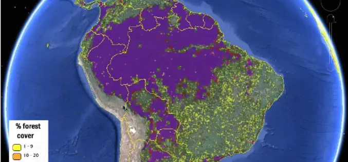
More Accurate View of Global Forest Map from IIASA
New global forest maps combine citizen science with multiple data sources, for an unprecedented level of accuracy about the location and extent of forestland worldwide. At International Institute of Applied
