
Tag "mapping"

India Proposes Use of Geospatial Technologies to Strengthening Mutual Cooperation between BRICS Nations
The Minister for Science, Technology and Earth Sciences, Dr. Harsh Vardhan is leading an Indian delegation to the 3rd BRICS Ministerial Meeting on Science, Technology and Innovation (STI) being held
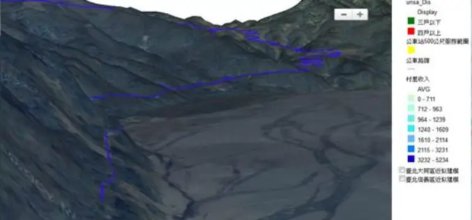
Underground Utilities and Traffic Applications in 3D
SuperGIS 3D Earth Server is now focusing on the development of underground utilities and traffic applications. The product not only provides the ability to visualize and manage underground utilities in
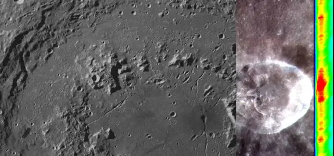
Opportunity for Utilizing Chandrayaan-1 Data from Terrain Mapping Camera and Hyperspectral Imager
Space Applications Centre (SAC), Indian Space Research Organisation (ISRO), Department of Space (DOS), Government of India, declares an “Announcement of Opportunity (AO)” to carry out scientific research by utilisation of
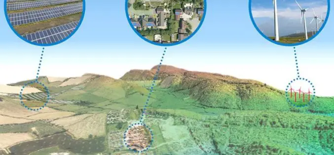
Aerial Mapping Pioneer Bluesky Supports Clean Energy Campaign
Aerial mapping company Bluesky is backing a charity’s campaign to protect the subsidies for clean energy projects. Under recent Government proposals, changes to the Feed-in-Tariffs (FiTs) for wind, solar and

Esri’s ArcGIS Online Approved as a Grade 5-12 Learning Resource in British Columbia
Cloud-based mapping platform provides opportunities to develop students’ spatial & critical thinking If you’re an educator in British Columbia looking for a way to engage your students in various subjects
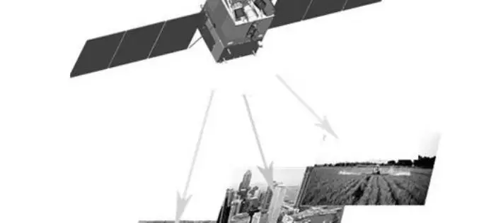
China’s First High-Resolution Satellite Maps Large Part of World
BEIJING: The Ziyuan III, China’s first high-resolution stereo mapping satellite for civilian use, has sent back visual data covering 69.45 million square kilometres of the globe since it was launched in

Innovative Tools for Building Mapping Apps Take Center Stage at Esri DevSummit in Berlin
Highlights Include App Builders and Modernized APIs and SDKs Redlands, California—Developers from around the world will find the latest technology for building geoenabled apps on the ArcGIS platform at the
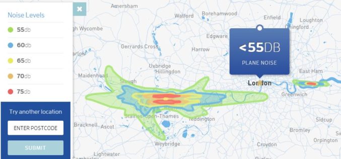
Map Aircraft Noise Pollution Where You Live
Club Med has launched a tool to map noise pollution information from Department for the Environment, Food & Rural Affairs (Defra), UK to map the decibel level from aircrafts. The

Underwater Drones to Map Oceans
MIT, Hydroswarm, a new startup developing underwater drones that automatically work together, instead has visions of mapping the entire ocean. Hydroswarm is an adaptable, smart drone platform for underwater explanation.

Nigeria to Use Drones to Fight Insecurity and Insurgency
According to recent news, Surveyors of the Nigerian Institution of Surveyors (NIS) and seasoned security experts, including Ade Abolurin, retired commandant-general; Nigeria Security and Civil Defence Corps have given advice to
