Tag "MRSAC"
GIS
JNARDDC and MRSAC are Developing Bauxite Mining App
Nagpur-India: According to recent news by The Times of India, the Jawaharlal Nehru Aluminium Research Development and Design Centre (JNARDDC), Nagpur, in collaboration with the Maharashtra Remote Sensing Application Centre (MRSAC),
GIS
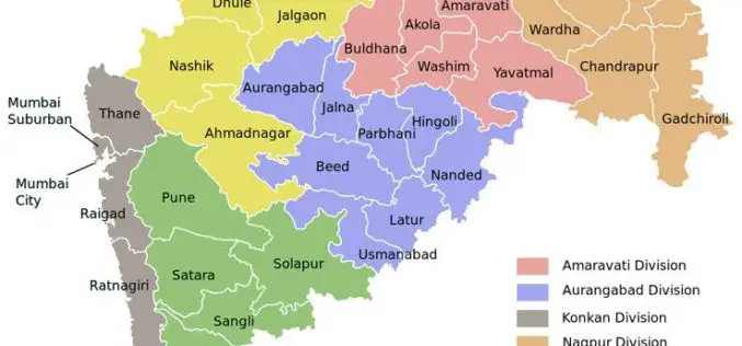
Maha Govt Plans to Map Whole State Using Satellite Images
According to recent news by ToI, the Maharashtra state government has planned to develop Maharashtra Geo-Spatial Digital Database System (MGDDS). City-based Maharashtra Remote Sensing Application Centre (MRSAC) has been appointed
Remote Sensing
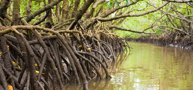
Mumbai Goes for Mangrove Mapping and Monitoring
The Maharashtra state mangrove cell and Maharashtra Remote Sensing and Space Application Centre (MRSAC) will begin an individual assessment of mangroves in Mumbai, Navi Mumbai and Thane. The study will


