
Tag "National Remote Sensing Centre"

ASTEC Launches Space-based Program for Empowering Panchayati Raj Institutions
Guwahati, India -According to recent news reported by The Assam Tribune, the Assam Science Technology and Environment Council (ASTEC) has launched outreach activities for space-based projects Empowering Panchayati Raj Institutions
J&K Moves for Geospatial Modeling of Rivers for Flood Preparedness
J&K was severely affected by flood in September 2014, learning the lesson from past the J&K Government is planning to prepare 3D maps of terrain using geospatial techniques. Digital Elevation

NRSC Offering Special Course on Microwave Remote Sensing Applications
National Remote Sensing Agency (NRSA) was established as a registered society on 2nd September 1974 by Department of Science & Technology, based on a Union Cabinet approval dated December 13,
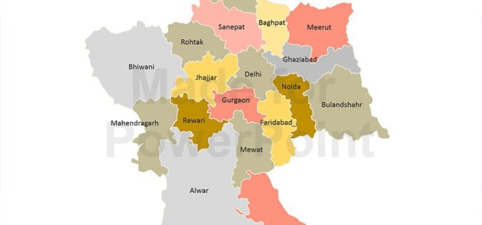
Decline in Natural Conservation Zones in NCR: Govternment
New Delhi: Natural conservation zones (NCZs) like forests, water bodies and waste lands have declined in the National Capital Region, Lok Sabha was informed on Wednesday. As per the analysis

Earth Station on Brazilian Land to get Data from IRS
In recent news, Prime Minister’s Office has informed that India and Brazil on Wednesday signed an agreement in Brasilia on cooperation in augmentation of a Brazilian earth station for receiving and

Haryana Forest Department to Map Forest Damage using GPS
Haryana Forest Department is mapping forest damage by fire using Global Positioning System (GPS) and plans to use satellite pictures to evaluate changes in forest and plantation areas. Haryana Space
