
Tag "NRSC"
Remote Sensing
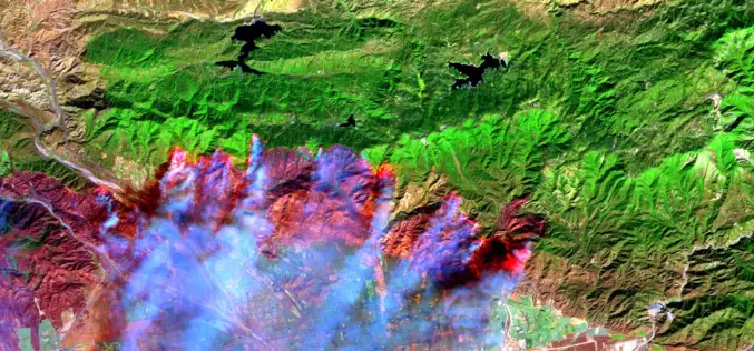
Satellite Images Reveals 2,500 hectares Forest Lost in Fire
In recent news, recent satellite image analysis of Bandipur and Nagarahole National Parks reveals that nearly 2,500 hectares of forest has been lost in a forest fire began over a week ago on
Global Positioning System
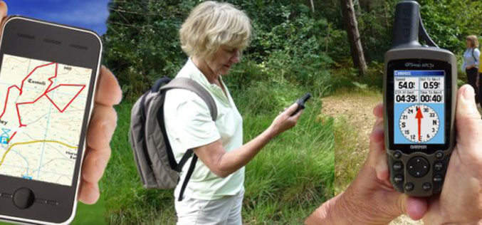
Haryana Forest Department to Map Forest Damage using GPS
Haryana Forest Department is mapping forest damage by fire using Global Positioning System (GPS) and plans to use satellite pictures to evaluate changes in forest and plantation areas. Haryana Space
