
Tag "Oceanography"
GIS
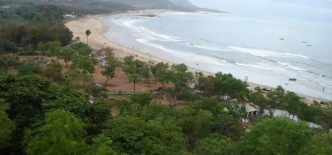
National Institute of Oceanography to Map the Coastline of Andhra Pradesh
Visakhapatnam – According to recent news reported by The Hindu, the National Institute of Oceanography (NIO), research laboratories under the Council of Scientific and Industrial Research, will undertake a project
Remote Sensing
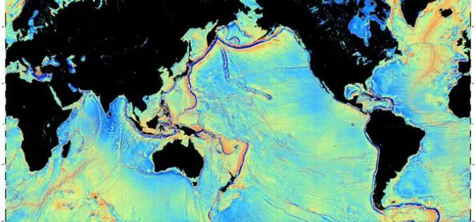
Mapping the Seafloor with Geodesy
Advanced sonar technology has allowed ships to create highly detailed topographic maps, it would take 125-200 ship-years to survey the deep oceans alone, costing billions of dollars. Gravity models are
Global Positioning System
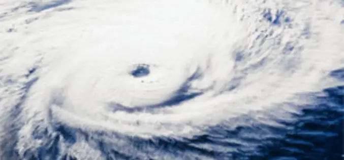
New Airborne GPS Technology to Predict Hurricanes
A new GPS system aboard airplanes can improve hurricane forecasting and weather models by detecting precise conditions in the atmosphere, scientists say. Current measurement systems that use Global Positioning System
