
Tag "oil spill"
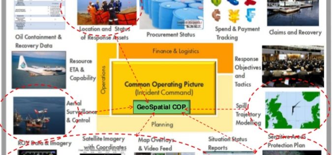
OGC announces Oil Spill Response Common Operating Picture Recommended Practice
02 March 2016: The Open Geospatial Consortium (OGC®) announces that the International Association of Oil & Gas Producers (IOGP) through the Geomatics Committee and IPIECA (the global oil and gas
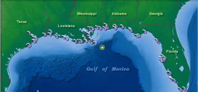
NOAA’s Online Mapping Tool ERMA Opens up Data to the Public
NOAA’s Environmental Response Management Application (ERMA) is a web-based mapping application that pulls in and displays both static and real-time data, such as ship locations, weather, and ocean currents. ERMA enables
NIO to so ESI Mapping to Combat Oil Spill
According to recent news, the National Institute of Oceanography (NIO) is doing a pilot study on environmental sensitivity index (ESI) mapping of oil spill to combat and subsequent formation of
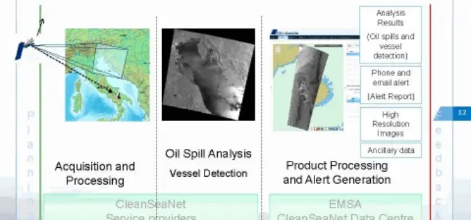
CleanSeaNet:Near Real Time Service to Protect Sea
In a wake to protect our sea, to safeguard marine habitat, serious risks of ecological damage and socio-economic losses, the European Maritime Safety Agency (EMSA) has started a satellite-based pan-European oil spill and
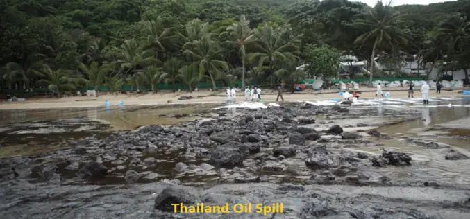
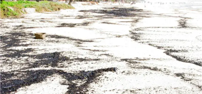
Satellite image shows Thailand’s oil spill
BANGKOK – The oil spill that hit Thailand’s popular Koh Samet island appears to be moving to coastal areas of the eastern province of Rayong, threatening to worsen the impact
