
Tag "Ordnance Survey"
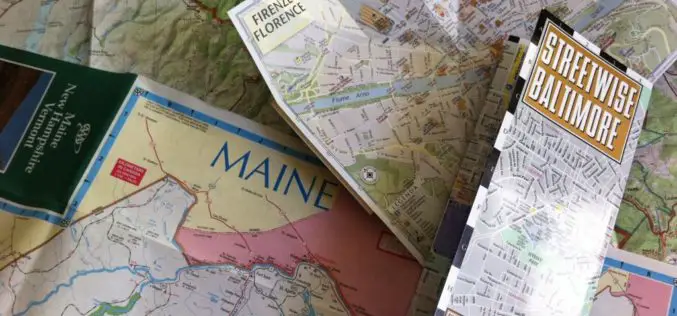
The Paper Map Revolution
In the past ten years Ordnance Survey paper map sales have fallen, in line with the rest of the publishing industry. Yet in 2014, Britain’s mapping agency reversed this trend with

Snaps on the Map – New Ordnance Survey Photo Competition
Ordnance Survey has launched a brand new photography competition for 2015 and is looking for the very best photographs of Great Britain to feature on the covers of its iconic paper maps.
Ordnance Survey Set to Become a Government-Owned Company
Proposals for converting Ordnance Survey from a Trading Fund into a government-owned company have today moved a step closer 22 January 2015 – As announced this morning in a Written Ministerial
Discover the Secret Life of Your Cat with the G-Paws GPS Pet Tracker
Ever wondered what your cat does when you’re not around? Wonder no more, because, following their success providing accurate mapping to BBC’s Cat Watch 2014, Ordnance Survey is now stocking G-Paws
Free Digital Mapping Service for Colleges by Ordnance Survey
Today Ordnance Survey and Jisc – the charity that offers digital services and solutions to UK education and research – are set to release Digimap for Colleges. The secure, free and easy to use
Ordnance Survey Becomes a Corporate Supporter of the Open Data Institute (ODI) Membership Programme
Ordnance Survey is pleased to announce that it has signed up to corporate supporter membership of the Open Data Institute. It will join organisations such as the Met Office, Arup,
Ordnance Survey’s new Minecraft Map Offers Greater Gaming and Learning Possibilities
Exactly a year on from the release of GB Minecraft, Ordnance Survey has launched GB Minecraft 2. This free-to-download Minecraft map offers gamers a much more natural-looking and detailed version of

GeoVation Challenge Invites You to Build a Better Britain
Ordnance Survey’s eighth GeoVation Challenge sees Britain’s mapping agency teaming up with Land Registry to offer £101,000 in development funding to help develop the best ideas and solutions to current
Deputy Prime Minister Announces Plans for a New Map of Accessible Green Space for England and Wales
03 Sep 2014 – The Deputy Prime Minister, Nick Clegg, today announced that Ordnance Survey would compile and release data to allow for a new map of every publicly accessible green

Ordnance Survey: New off-Road Cycle Trail Maps Launched in Hampshire
Ordnance Survey has identified Hampshire as one of the nation’s main cycling hubs and has developed a set of mapping packs containing a range of off-road routes, enabling cyclists to explore
