
Tag "public health"

Featured Article
GIS
How Spatial-Temporal Data Revealed Hepatitis B Patterns in China
Hepatitis B virus (HBV) infection remains a significant public health concern in China, a country with one of the highest burdens of this disease worldwide. Despite ongoing efforts to control

GIS
Geospatial Tools to Tackle Public Health in Bangladesh
According to recent news published by the University of Texas at Dallas, Geospatial information sciences (GIS) can help determine where diseases are spreading and where to target the resources needed to
GIS
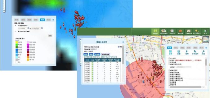
GIS-powered Vector Mosquito Data Management System to Enhance Public Health
In warm and humid subtropical areas like Southeast Asia, prevention and cure of vector mosquito is a key mission for epidemic and diseases control authorities. To achieve the goal, officers
