Tag "USGS National Geospatial Program"
Business
GIS
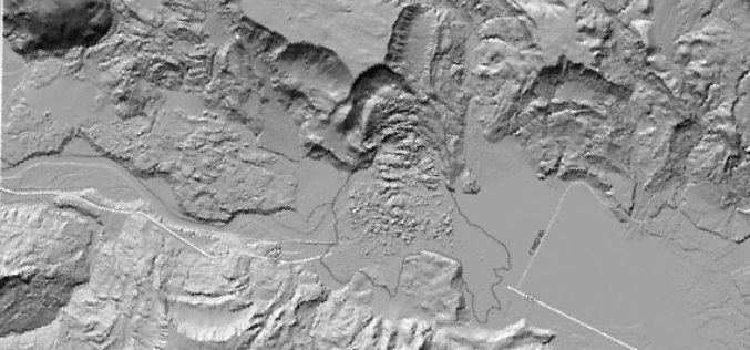
Meeting the Elevation Needs of the Nation
Nearly 25 state-specific fact sheets are now available to understand 3DEP applications Want to know how elevation will benefit your state? The USGS National Geospatial Program is advancing the 3D Elevation Program,
E-books
Digital Orthoimagery Base Specification V1.0
Abstract The resolution requirement for orthoimagery in support of the The National Map of the U.S. Geological Survey (USGS) is 1 meter. However, as the Office of Management and Budget


