
Tag "USGS"
GIS
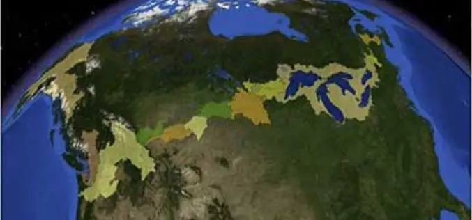
Linking U.S. and Canadian Border Waters
In recent news by USGS, seamless digital maps of surface waters along the Canada and United States International Boundary are now possible. These maps make tracking complex water issues easier to solve

Remote Sensing
Dudley B. Chelton Awarded as 2013 Pecora Award
The US Department of the Interior’s U.S. Geological Survey (USGS) and NASA has presented the 2013 William T. Pecora Award for achievement in Earth remote sensing to Dudley B. Chelton,
