
Tag "USGS"

USGS-NASA Award Recognizes Innovations in Earth Observation
A pioneer in mapping global land cover change and the team behind the United States’ most advanced land surface mapping satellite have both been honored with the 2014 William T. Pecora
New Maine Maps Feature National Scenic Trails
Newly released US Topo maps for Maine now feature segments of the Appalachian National Scenic Trail (A.T.). Several of the 715 new US Topo quadrangles for the state now
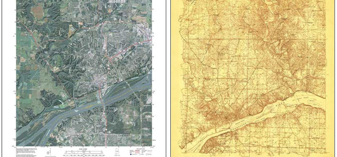
Revised Alabama Maps Feature New Design
Newly designed US Topo maps covering Alabama are now available online for free download US Topo maps now have a crisper, cleaner design – enhancing readability of maps for online
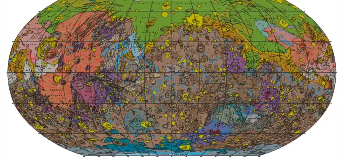
Geologic Map of Mars
Geologic Map of Mars Abstract This global geologic map of Mars, which records the distribution of geologic units and landforms on the planet’s surface through time, is based on unprecedented

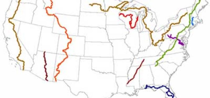
New York to LA: History of America’s Maps in One App
Redlands, California—Two of the nation’s most authoritative mapping sources, the U.S. Geological Survey and Esri, have partnered to put the rich tapestry of U.S. Historical Maps into the hands of
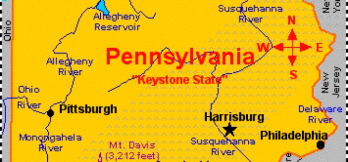
Measuring Landscape Disturbance of Gas Exploration in Nine Pennsylvania Counties
Landscape change in Pennsylvania’s Bedford, Blair, Cambria, Centre, Clearfield, Clinton, Columbia, Huntingdon, and Luzerne counties resulting from construction of well pads, new roads and pipelines for natural gas and coalbed
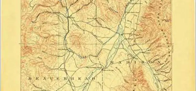
Discover the Northwest with Revised Montana Maps
Just in time to explore the great outdoors this summer, newly designed US Topo maps covering Montana are now available online for free download. US Topo maps now have a crisper,
USGS Webinar: Using The National Map Services to Enable your Web and Mobile Mapping Efforts
Are you a developer, firm, or organization using mobile or web applications to enable your users? The USGS has publicly available geospatial services and data to help you! The USGS’

Upcoming Changes to Landsat Surface Reflectance Climate Data Records
Today I received an email from USGS as a notice of planned changes to the processing and output options of Landsat Surface Reflectance (SR) Climate Data Records (CDR). In the near

Digital Orthoimagery Base Specification V1.0
Abstract The resolution requirement for orthoimagery in support of the The National Map of the U.S. Geological Survey (USGS) is 1 meter. However, as the Office of Management and Budget
