
Tag "USGS"

Webinar: TerraGo Edge v3.4 Adds Powerful GPS Features
TerraGo Edge v3.4 Adds Powerful GPS Features Tuesday, March 3, 2015 12:00 PM EST Join this webinar and get an overview of TerraGo Edge v3.4 new functions and capabilities. TerraGo
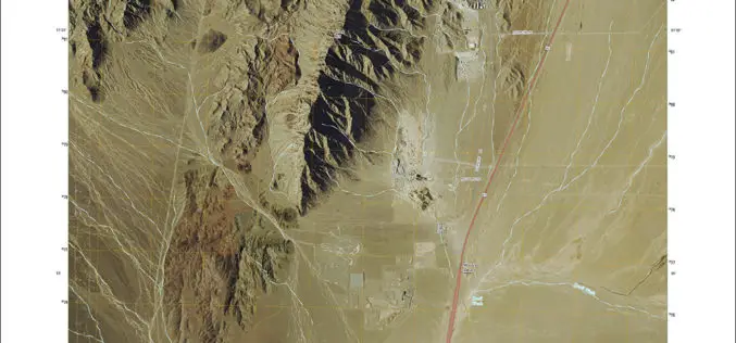
New US Topo Maps for Nevada Include Trails
Newly released US Topo maps for Nevada now feature selected trails. The data for the trails is provided to the USGS through a nation-wide “crowdsourcing” project managed by the International Mountain Biking

President’s 2016 Budget Proposes $1.2 Billion for the USGS
Reflects robust Administration support for science-based decision-making in managing natural resources The President’s fiscal year 2016 budget request for the U.S. Geological Survey is $1.2 billion, an increase of nearly
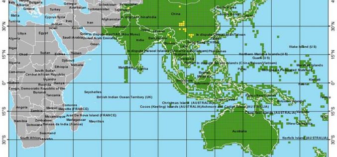
More Global Topographic Data to Aid Climate Change Research
Enhanced elevation data for most of Asia and Oceania; third of four releases Improved global topographic (elevation) data are now publicly available for most of Asia (India, China, southern Siberia,
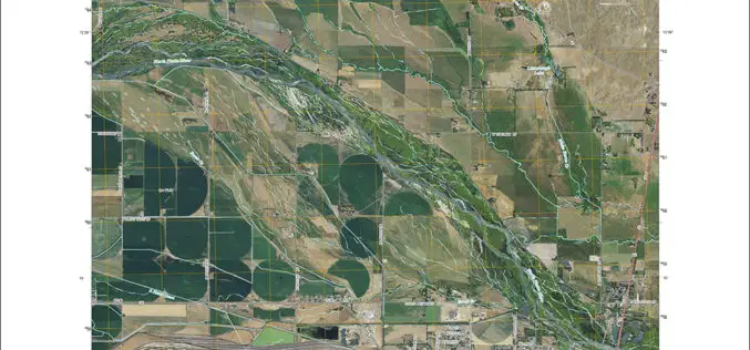
New Nebraska Maps Feature Trails
Newly released US Topo maps for Nebraska now feature trails provided to the USGS through a “crowdsourcing” project operated by the International Mountain Biking Association (IMBA). Several of the 1,376

Call for Papers: A Special Issue of Remote Sensing of Environment on Landsat 8 Science Results
With the launch of the Landsat Data Continuity Mission (LDCM) in February 2013, the already unprecedented Landsat global record continues and could reach 50 years or longer in length.
Enhanced Elevation Data for North and South America, Pacific Islands, Northern Europe
New Heights of Global Topographic Data Will Aid Climate Change Research The U.S. Geological Survey announced today that improved global topographic (elevation) data are now publicly available for North and

USGS to Show Mountain Bike Trails on US Topo Maps
Get Your Wheels Spinning As part of the continued US Topo maps revision and improvement cycle, the USGS will be including mountain bike trails to upcoming quadrangles on a state-aligned
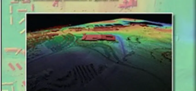
Lidar Base Specification
Lidar Base Specification By Hans Karl Heidemann Abstract In late 2009, a $14.3 million allocation from the “American Recovery and Reinvestment Act” for new light detection and ranging (lidar) elevation
USGS Lidar Base Specification Version 1.2
The US Geological Survey National Geospatial Program is pleased to announce a new version of the USGS Lidar Base Specification that defines deliverables for nationally consistent lidar data acquisitions. The USGS Lidar
