Tamil Nadu to Use GeoAI-based Smartphone App for Detecting Land Encroachments
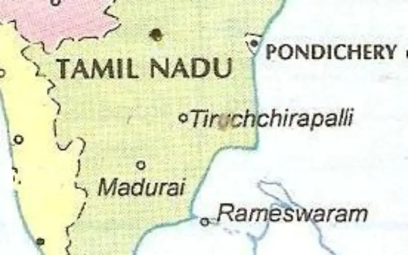
The Tamil Nadu government is set to introduce an AI-powered smartphone app for detecting land encroachments. This innovative tool will utilize satellite imagery, GIS data, and a detailed geospatial database to monitor unauthorized land use on private and government properties. The AI system will provide real-time alerts to authorities, allowing quicker responses and enforcement actions against illegal developments.
Pilot Project in Coimbatore
The app will initially be tested in Coimbatore, a city known for rapid urban expansion, before being rolled out to other urban centers across Tamil Nadu. This phased approach will allow authorities to fine-tune the app’s capabilities and ensure its effectiveness in various environments.
Also Read – GIS Resources Magazine (Issue 1 | March 2024): Geospatial Technologies and Artificial Intelligence (GeoAI)
Environmental and Urban Benefits
Beyond tracking illegal constructions, the app will monitor changes in green cover, supporting Tamil Nadu’s environmental conservation efforts. This dual-purpose functionality aligns with the state’s goal of fostering sustainable urban development. By using advanced technology, the government aims to safeguard green spaces while accommodating urban growth.
Development and Timeline
To bring the app to life, the Tamil Nadu government is hiring experts with experience in AI, satellite technology, and GIS. The development process is already underway, with the state aiming for an official launch in the next six months. This initiative is part of Tamil Nadu’s broader strategy to integrate technology in governance and urban planning.
A Step Towards Smart Governance
Tamil Nadu’s AI-based app is a significant move towards smarter urban management. It reflects a nationwide trend of using technology to address urban challenges, ensuring that development is managed responsibly. The integration of AI and geospatial data positions Tamil Nadu at the forefront of tech-driven land management, promising a more efficient approach to monitoring and enforcing land use regulations.
Source: DT Next


